
Airport type Public 18/36 4,000 Elevation 135 m | Owner City of Benton Elevation AMSL 444 ft / 135 m 4,000 1,219 Phone +1 618-435-3526 | |
 | ||
Similar Benton Fire Departme, West Frankfort Police/Fir, West City Police Departme, Franklin County Sheriff, Zeigler Police Departme | ||
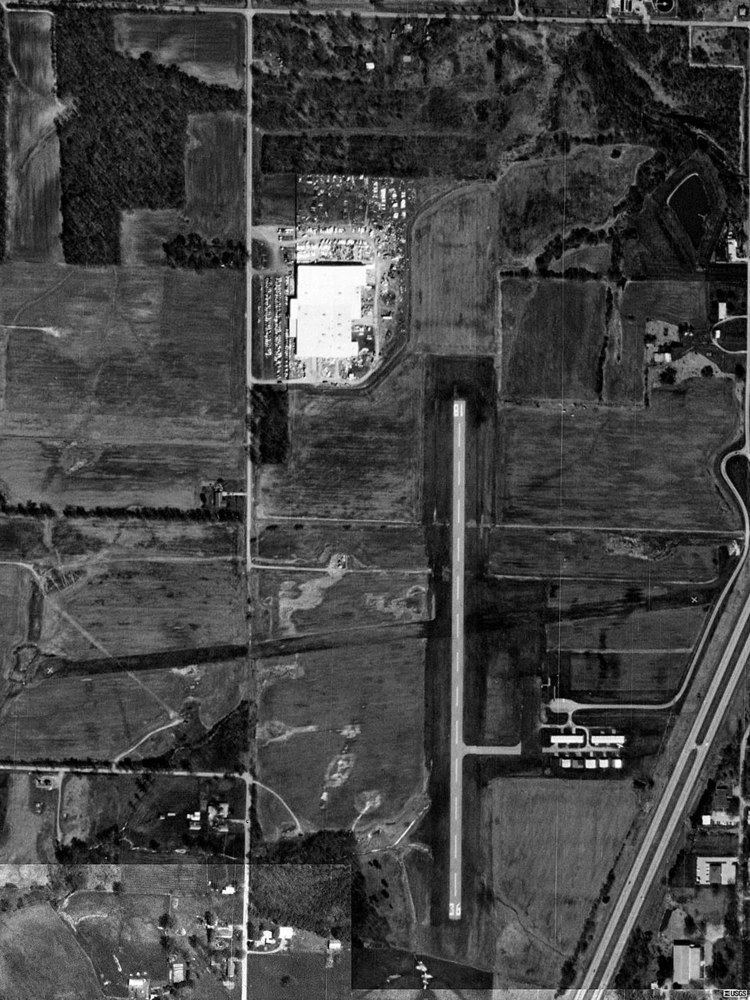
Benton Municipal Airport (FAA LID: H96) is a city owned public use airport located 1 nautical mile (1.9 km; 1.2 mi) west of the central business district of Benton, a city in Franklin County, Illinois, United States. This airport is included in the FAA's National Plan of Integrated Airport Systems (2009-2013), which categorizes it as a general aviation airport.
Facilities and aircraft
Benton Municipal Airport covers an area of 110 acres (45 ha) at an elevation of 444 feet (135 m) above mean sea level. It has one runway designated 18/36 with an asphalt surface measuring 4,000 by 75 feet (1,219 x 23 m). The runway was expanded in 2003; it previously measured 2,720 by 60 feet (829 x 18 m).
For the 12-month period ending August 31, 2007, the airport had 8,000 aircraft operations, an average of 21 per day: 94% general aviation, 5% air taxi and 1% military. At that time there were 10 aircraft based at this airport: 9 single-engine and 1 multi-engine.