
Regency Selayar Islands Kode pos 92812 | Time zone WITA (UTC+8) Area 7.12 km² | |
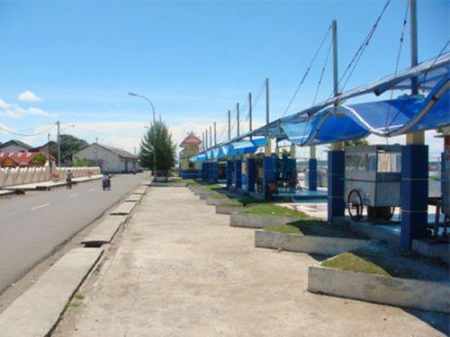 | ||
Benteng is an administrative district in the Selayar Islands Regency, South Sulawesi, Indonesia. It is the administrative capital of the Selayar Islands Regency and is located on the seafront where the means of transport from outside the closest is Benteng Pier. The nearest airport and is the only airport H. Aroeppala located in Padang few miles south of Benteng Bontosunggu precisely in the village, Bontoharu District, Selayar Islands Regency. Capital city is the administrative district Benteng Citadel.
Map of Benteng, Selayar Regency, South Sulawesi, Indonesia
References
Benteng, Selayar Islands Wikipedia(Text) CC BY-SA