
Population 146 (2006 census) Postcode(s) 6463 Elevation 355 m Local time Friday 4:03 PM | Established 1910 Founded 1910 Postal code 6463 | |
 | ||
Location 199 km (124 mi) North East of Perth10 km (6 mi) West of Wyalkatchem24 km (15 mi) East of Dowerin Weather 37°C, Wind S at 11 km/h, 18% Humidity | ||
Benjaberring is a small town in the Wheatbelt region of Western Australia. The name of the town originates from the Aboriginal name of a nearby water source. The name of the area first appears on charts in 1846, and the town site was first declared as Benjabbering in 1910 but the spelling was changed to Benjaberring in 1911 to more accurately reflect the correct pronunciation.
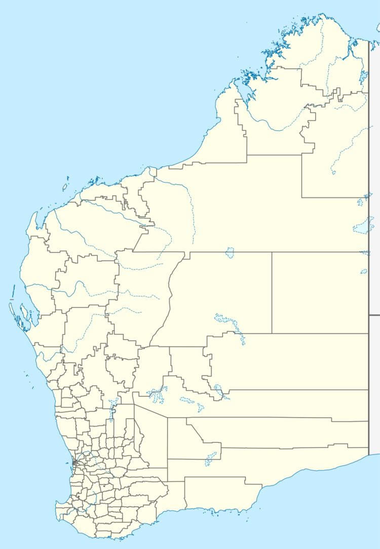
Map of Benjaberring WA 6463, Australia
In 1932 it was the location of a railway siding and was one of five bulk grain receival locations that was the beginning of the Cooperative Bulk Handling organisation now, the CBH Group.
References
Benjaberring, Western Australia Wikipedia(Text) CC BY-SA