
Time zone CET (UTC+1) Area 47.9 km² Population 26,521 (2014) Local time Friday 12:50 AM | Demonym(s) Benicarlando Postal code 12580 Elevation 21 m | |
 | ||
Weather 9°C, Wind W at 5 km/h, 92% Humidity | ||
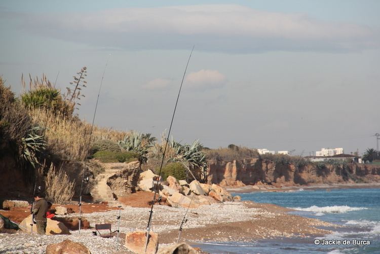
Benicarló ([benikaɾˈlo]) is a city and municipality in the north of the province of Castelló, part of the Valencian Community, in the Mediterranean Coast between the cities of Vinaròs and Peníscola, not too far south from the Ebre River.
Contents
Map of 12580 Benicarl%C3%B3, Castell%C3%B3n, Spain
Tourism, agriculture and some manufacturing are the major industries. Benicarló is part of the Taula del Sénia free association of municipalities.
Benicarló is served by a train station in the Valencia-Barcelona line, and is connected by road through the A7 Highway.
Main sights
Twin towns
Ladispoli, Italy
Media related to Benicarló at Wikimedia Commons
References
Benicarló Wikipedia(Text) CC BY-SA