Kalpana Kalpana (Editor)

Bengy sur Craon

Updated on
Edit
Like
Comment
Share on FacebookTweet on TwitterShare on LinkedInShare on Reddit
Country
  
France

Department
  
Cher

Intercommunality
  
Pays de Nérondes

Area
  
35.24 km²

Local time
  
Friday 12:35 AM

Region
  
Centre-Val de Loire

Canton
  
Baugy

Time zone
  
CET (UTC+1)

Population
  
609 (1999)

Arrondissement
  
Bourges

Bengy-sur-Craon

Weather
  
7°C, Wind E at 11 km/h, 76% Humidity

Bengy-sur-Craon is a commune in the Cher department in the Centre region of France.

Contents

Map of 18520 Bengy-sur-Craon, France

Geography

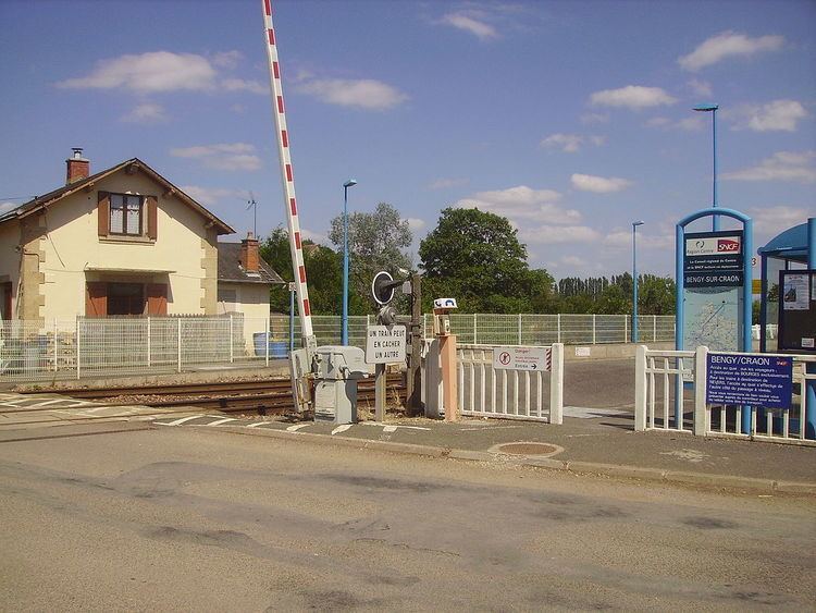
A farming area comprising the village and three hamlets situated by the banks of the river Craon, some 15 miles (24 km) southeast of Bourges at the junction of the D976 with the D102 and D10e roads. The commune is served by a TER railway link to Bourges.

The river Airain forms part of the commune's southeastern border.

Sights

  • The oldest parts of the church of St.Pierre, the choir, dates from the twelfth century. The west door is 13th century. The two-storey bell tower, possibly inspired by an earlier form, is modern. It has been listed since 1913 as a monument historique by the French Ministry of Culture.
  • Roman remains, including a mosaic.
  • A barn at Champ des Vignes, built 1731, is typical of the region. It has been listed since 1989 as a monument historique.
  • The medieval site at Bouchetin.
  • References

    Bengy-sur-Craon Wikipedia