
Country Capital | Area 39,826 km2 Population 2,036,662 | |
 | ||
Map of Benguela Province
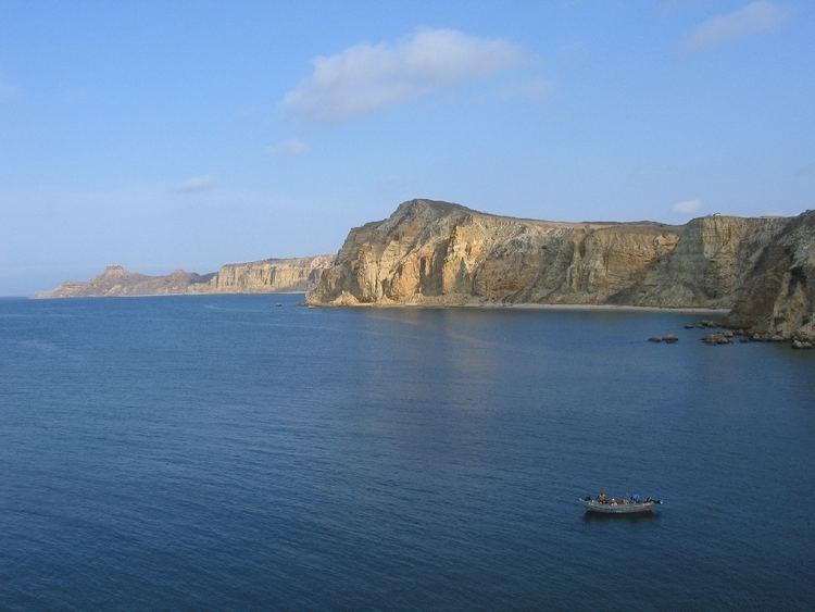
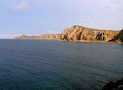
Benguela is a province of Angola, situated in the west of the country. It lies on the Atlantic Ocean, and borders the provinces of Cuanza Sul, Namibe, Huila, and Huambo. The province has an area of 39,826 square kilometres (15,377 sq mi) and its capital is Benguela. According to 1988 US government statistics, the population had 297,700 urban inhabitants and 308,800 rural inhabitants, with an estimated total provincial population of 606,500. The current governor of Benguela is Isaac dos Anjos.
Contents
History
The Portuguese crown created the Kingdom of Benguela in 1615 to improve the conditions to develop the desired land route to Mozambique across Africa. The trading post founded here did not meet the expectations of the Portuguese in mineral resources and soil quality, so a village was only established for the slave trade, under the name of Mbaka.
With the era of imperialist efforts of European countries to acquire colonies in Africa, at the end of the 19th century, Portugal increased its presence in the region in order to protect them from the advances of the German Empire and other states. Even before the Berlin Congo Conference in 1884–85, when European powers divided up the African colonial territories among themselves, Portugal had strengthened its colonial administration as early as 1869, and divided the three districts of Luanda, Benguela and Moçâmedes (now Namibe). From 1903, the Benguela Railway was built connecting the port of Lobito to Belgian Congo, which led to the growing importance of the port and industries emerged, particularly the processing of sisal fiber, which contributed to the development of district of Benguela. By 1912, the Benguela Railway had reached Huambo from Lobito, and the line was eventually completed in 1929. Mostly after 1938, Benguela city's rubber and ivory trade made it a "relevant commercial warehouse".
Since the 1960s, with increased competition in the sisal trade worldwide, rich fish stocks off the coast have been one of the principal economic drivers of the region. From the late 1960s the population structure has changed, partly due to the regional economic upheaval, the massive emigration of European settlers to the Angola when it became independent in 1975, and the influx of many IDPs during the Angolan Civil War (1975–2002); 1988 figures put the displaced population in the province at 21,478, living in nine camps.
Geography
Benguela Province is situated in the west of the country, on the Atlantic coast. It also borders the provinces of Cuanza Sul (to the north), Namibe (to the southwest), Huila (to the southeast), and Huambo (to the east). It is traversed by the northwesterly line of equal latitude and longitude with three zones: coastal at 0–500 metres (0–1,640 ft); central at 500–1,200 metres (1,600–3,900 ft); and eastern with a medium altitude greater than 1,500 metres (4,900 ft).
Administration
Its administrative divisions, defined as ten municipalities (municípios), include Baia-Farta, Balombo, Benguela, Bocoio, Caimbambo, Catumbela, Chongorói, Cubal, Ganda, and Lobito.
Culture
The predominant ethnic groups are the Ovimbundu and Ngangela. The majority language is Umbundu.