
- elevation 184 m (604 ft) Mouth Bass Strait | - elevation 0 m (0 ft) | |
 | ||
- location Benedore River Reference Area - location | ||
The Benedore River is a perennial river with no defined major catchment, located in the East Gippsland region of the Australian state of Victoria.
Contents
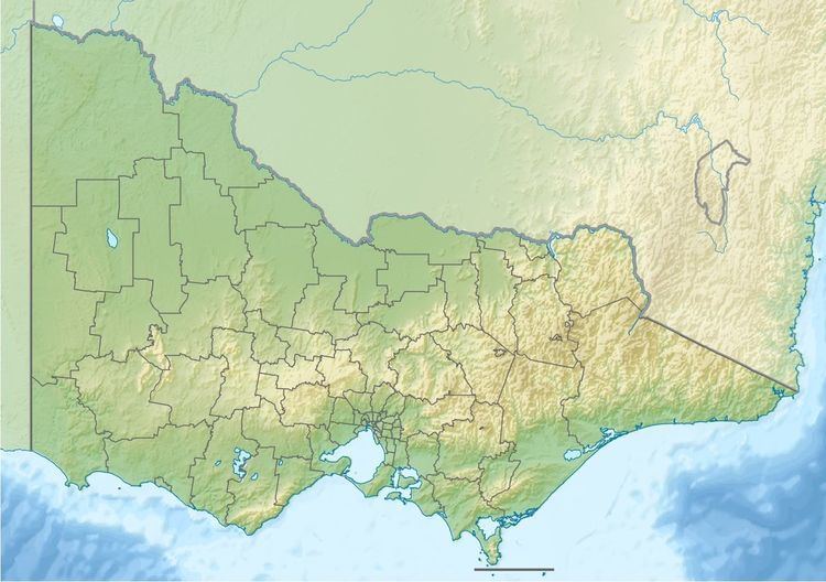
Map of Benedore River, Wingan River VIC, Australia
Course and features
The Benedore River rises in the Benedore River Reference Area and flows generally south southeast, through the Seal Creek Reference Area, before reaching its mouth with Bass Strait within the Croajingolong National Park in the Shire of East Gippsland. The river descends 184 metres (604 ft) over its 11-kilometre (6.8 mi) course.
The four beaches at the river mouth, south of Mallacoota, form a naturally occurring dam resulting in a 1 kilometre (0.62 mi) long, narrow, winding lake behind the southeast sea-facing beaches.
References
Benedore River Wikipedia(Text) CC BY-SA