
Population 303 (2011 census) Postal code 2803 | Postcode(s) 2803 Local time Friday 8:39 AM | |
 | ||
Location 354 km (220 mi) W of Sydney151 km (94 mi) SW of Bathurst47 km (29 mi) SW of Cowra26 km (16 mi) NE of Young Weather 20°C, Wind E at 19 km/h, 75% Humidity | ||
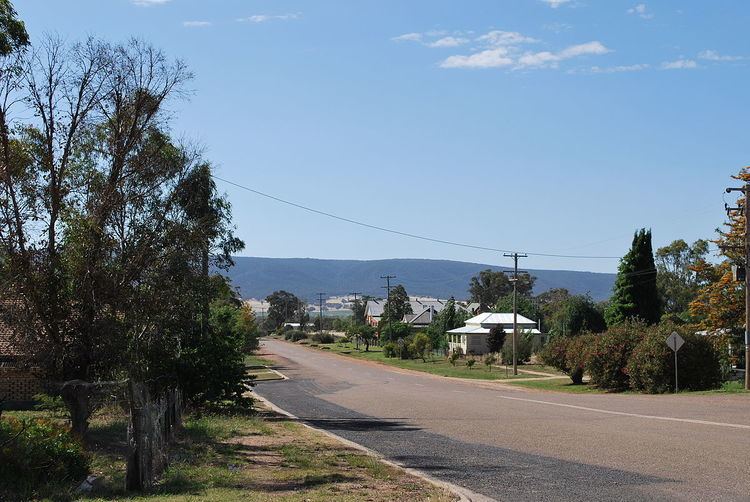
Bendick Murrell is a town in the South West Slopes region of New South Wales, Australia.
Contents
Map of Bendick Murrell NSW 2803, Australia
Locality
The town is adjacent to the Olympic Highway within the Hilltops local government area, 354 kilometres (220 mi) west of the state capital, Sydney. The town is on the Blayney-Demondrille railway line. At the 2011 census, Bendick Murrell and the surrounding area had a population of 303.
Name
The name of the town is Aboriginal in origin, meaning "plain" and was originally given a local pastoral station.
Services
A provisional school was established in 1883 and the existing school has occupied the same site since 1894. A receiving post office was opened in 1887.
References
Bendick Murrell Wikipedia(Text) CC BY-SA