
 | ||
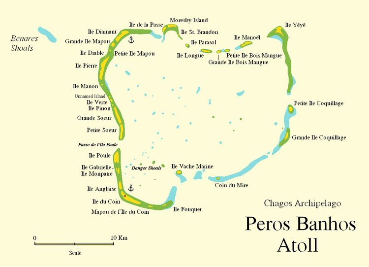
Benares Shoals, or Benares Shoal, is a submerged coral reef, an isolated patch located at 5°15′S 071°40′E, just 6 kilometres (3.7 mi) west-northwest of Île Pierre, the closest island of Peros Banhos atoll in the northern Chagos Archipelago. It measures about 3 kilometres (2 mi) east–west, with a width of about 700 metres (2,300 ft) and an area of 2 square kilometres (0.77 sq mi). The least depth at the western end is 4.5 metres (15 ft).
Map of Benares Shoals
The Benares Shoals were first surveyed in 1837 by Commander Robert Moresby of the Indian Navy on the HMS Benares. Moresby's survey produced the first detailed map of this submerged reef, which was subsequently named after his ship.
References
Benares Shoals Wikipedia(Text) CC BY-SA