
Location Dublin, Ireland Topo map OSi Discovery 50 Prominence 167 m Listing Marilyn | OSI/OSNI grid O285376 Elevation 171 m Province Leinster | |
 | ||
Similar Shielmartin Hill, Two Rock, Hill of Ben, Barnaslingan, Carrickgollogan | ||
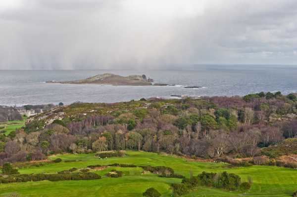
The Ben of Howth (Irish: Beann Éadair ) is a hilly area on Howth Head, adjacent to the 171 metre high Black Linn, the peninsula's highest point.
Contents
Map of Ben of Howth, Howth, Dublin, Ireland
Geography
Lying approximately 1½ km to the south of Howth village, the nearest road is Windgate Road, from which a path leads west past Green Hallows quarry.
Two of Howth's other peaks are nearby, Shelmartin or Shielmartin which lies approximately 1 km to the west, and Dun Hill, 0.5 km to the north west.
References
Ben of Howth Wikipedia(Text) CC BY-SA