
Country United States County Boone Time zone CST (UTC-6) Area 94.64 km² Population 30,109 (2010) | State Illinois Settlement November 6, 1849 Elevation 248 m Local time Thursday 12:55 PM | |
 | ||
ZIP codes 61008, 61011, 61016, 61065, 61107, 61111, 61114 Weather -1°C, Wind NW at 18 km/h, 65% Humidity Points of interest Spencer Park, Pettit Memorial Chapel, Vintage Wings & Wheels M | ||
Belvidere Township is one of nine townships in Boone County, Illinois, USA. As of the 2010 census, its population was 30,109 and it contained 11,272 housing units.
Contents
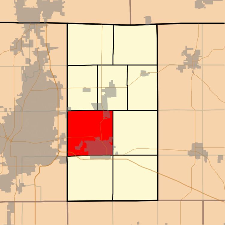
- Map of Belvidere Township IL USA
- Geography
- Cities
- Unincorporated towns
- Cemeteries
- Major highways
- Airports and landing strips
- Rivers
- Landmarks
- School districts
- Political districts
- References
Map of Belvidere Township, IL, USA
Geography
According to the 2010 census, the township has a total area of 36.54 square miles (94.6 km2), of which 36.09 square miles (93.5 km2) (or 98.77%) is land and 0.45 square miles (1.2 km2) (or 1.23%) is water.
Cities
Unincorporated towns
(This list is based on USGS data and may include former settlements.)
Cemeteries
The township contains these four cemeteries: Belvidere, Highland Garden of Memories, Orth and Saint James Catholic.
Major highways
Airports and landing strips
Rivers
Landmarks
School districts
Political districts
References
Belvidere Township, Boone County, Illinois Wikipedia(Text) CC BY-SA