
Country United States County Mitchell Incorporated 1872 Elevation 422 m Population 3,846 (2013) | Platted 1872 Time zone Central (CST) (UTC-6) Zip code 67420 | |
 | ||
Weather 8°C, Wind NW at 24 km/h, 41% Humidity University | ||
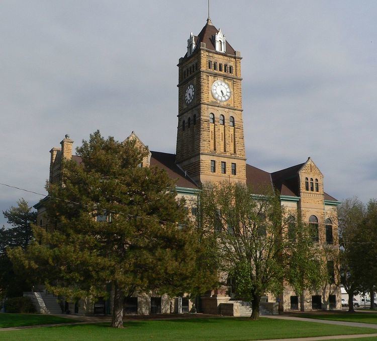
Beloit is a city and county seat of Mitchell County, Kansas, United States. As of the 2010 census, the city population was 3,835.
Contents
- Map of Beloit KS 67420 USA
- History
- Geography
- Climate
- 2010 census
- 2000 census
- Local
- Districts
- Education
- References
Map of Beloit, KS 67420, USA
History
On permanent organization of the county in 1870, Beloit was selected as the county seat of Mitchell County, Kansas, and is located northeast of the center of the county on the Solomon River. The town site of Beloit was first settled by A.A. Bell in 1868 with the idea of improving the water power and for some time was known as Willow Springs. Beloit is named after Beloit, Wisconsin. Beloit sits at the junction of the Union Pacific and the Missouri Pacific Railroads.
Local legend has it that the local Indians advised Bell to locate the town at a certain bend of the Solomon river to protect the town from tornadoes. To this date, downtown Beloit has been hit with a tornado only once, in November 1922.
The town of Beloit was platted March 26, 1872, and the original description as found in the recorder's office covers all of Section 9, and the south half of the southeast quarter and south half of the southwest quarter of Section 4, Town 7 and Range 7 west. The proprietors of the town were T.F. Hersey, A.A. Bell, George Campbell, Alexander Campbell, C.H. Morrill, Edward Valentine, W.C. Ingram, Daniel Kepler and Vinton Whitehurst. The town grew very rapidly, and in July 1872, was incorporated as a city of the third class. On March 10, 1879, Gov. John P. St. John proclaimed Beloit a city of the second class.
Beloit was home to the Beloit Juvenile Correctional Facility of the Kansas Juvenile Justice Authority.
On August 28, 2014, the city suffered a major hailstorm. The hail lasted for around 30 minutes and was the size of baseballs. The storm destroyed roofs, siding, windows, and caused heavy flooding. The storm was severe enough to be featured on the CBS Evening News.
Geography
According to the United States Census Bureau, the city has a total area of 4.05 square miles (10.49 km2), of which, 4.02 square miles (10.41 km2) is land and 0.03 square miles (0.08 km2) is water.
Climate
The climate in this area is characterized by hot, humid summers and generally mild to cool winters. According to the Köppen Climate Classification system, Beloit has a humid subtropical climate, abbreviated "Cfa" on climate maps.
2010 census
As of the census of 2010, there were 3,835 people, 1,647 households, and 964 families residing in the city. The population density was 954.0 inhabitants per square mile (368.3/km2). There were 1,842 housing units at an average density of 458.2 per square mile (176.9/km2). The racial makeup of the city was 98.1% White, 0.3% African American, 0.4% Native American, 0.2% Asian, 0.1% Pacific Islander, 0.2% from other races, and 0.8% from two or more races. Hispanic or Latino of any race were 1.0% of the population.
There were 1,647 households of which 25.6% had children under the age of 18 living with them, 48.3% were married couples living together, 7.7% had a female householder with no husband present, 2.6% had a male householder with no wife present, and 41.5% were non-families. 35.3% of all households were made up of individuals and 15% had someone living alone who was 65 years of age or older. The average household size was 2.18 and the average family size was 2.83.
The median age in the city was 42.8 years. 21.6% of residents were under the age of 18; 10% were between the ages of 18 and 24; 20.6% were from 25 to 44; 26.8% were from 45 to 64; and 21% were 65 years of age or older. The gender makeup of the city was 49.9% male and 50.1% female.
2000 census
As of the census of 2000, there were 4,019 people, 1,623 households, and 994 families residing in the city. The population density was 1,012.2 people per square mile (390.9/km²). There were 1,851 housing units at an average density of 466.2 per square mile (180.0/km²). The racial makeup of the city was 96.94% White, 0.77% African American, 0.35% Native American, 0.37% Asian, 0.05% Pacific Islander, 0.17% from other races, and 1.34% from two or more races. Hispanic or Latino of any race were 1.07% of the population.
There were 1,623 households out of which 27.5% had children under the age of 18 living with them, 52.9% were married couples living together, 5.3% had a female householder with no husband present, and 38.7% were non-families. 34.4% of all households were made up of individuals and 17.2% had someone living alone who was 65 years of age or older. The average household size was 2.26 and the average family size was 2.93.
In the city, the population was spread out with 24.3% under the age of 18, 10.9% from 18 to 24, 22.3% from 25 to 44, 21.2% from 45 to 64, and 21.3% who were 65 years of age or older. The median age was 40 years. For every 100 females there were 93.5 males. For every 100 females age 18 and over, there were 92.7 males.
The median income for a household in the city was $33,227, and the median income for a family was $43,030. Males had a median income of $26,099 versus $20,694 for females. The per capita income for the city was $17,713. About 5.5% of families and 8.9% of the population were below the poverty line, including 12.2% of those under age 18 and 7.5% of those age 65 or over.
Local
Beloit has a Mayor/City Council form of government. Voters elect eight city council members, two from each of the City's four wards, to four-year terms. Also, the voters elect a Mayor. The Mayor and the 8 City Councilors form the City of Beloit Governing Body.
The Beloit Governing Body meets in business session at 7:00 p.m. on the first and third Tuesdays of each month. Meetings take place in the Council Chambers at the Municipal Building. Cable channel 12 televises regular meetings.
Districts
Beloit lies within Kansas's 1st congressional district, currently represented by Tim Huelskamp. For the purpose of representation in the Kansas Legislature, the city is located in the 36th Senate District, currently represented by Elaine Bowers, and the 107th House District, currently represented by Susan Concannon. On the local level, Beloit is in both the first, represented by Tom Claussen, and second, represented by Mike Cooper, Mitchell County Commissioner Districts. Beloit is mostly in Beloit Township, but the very far north side of the city is located in Plum Creek Township.
Education
Beloit is home to St. John's Catholic Grade School, St. John's Catholic High School (Beloit, Kansas), Beloit Elementary School, and Beloit Junior/Senior High School. Beloit is in USD 273. Beloit is also home to the North Central Kansas Technical College.