
 | ||
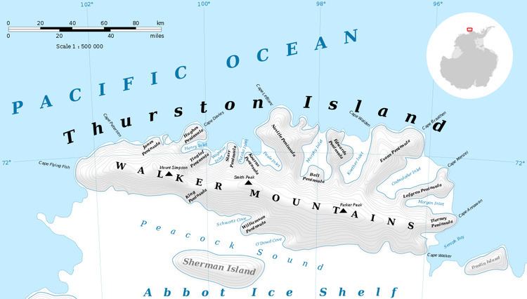
Bellisime Glacier (72°19′S 99°53′W) is a glacier about 4 nautical miles (7 km) long flowing south from Thurston Island east of Myers Glacier. It was named by the Advisory Committee on Antarctic Names after Lynda B. Bellisime of the United States Geological Survey (USGS), Flagstaff, Arizona, part of the USGS team that compiled the 1:5,000,000-scale Advanced Very High Resolution Radiometer maps of Antarctica and the 1:250,000-scale Landsat TM image maps of the Siple Coast area in the 1990s.
Contents
Map of Bellisime Glacier, Antarctica
Maps
References
Bellisime Glacier Wikipedia(Text) CC BY-SA