
Population 4,359 (2011 census) LGA(s) City of Clarence Postal code 7018 | Postcode(s) 7018 | |
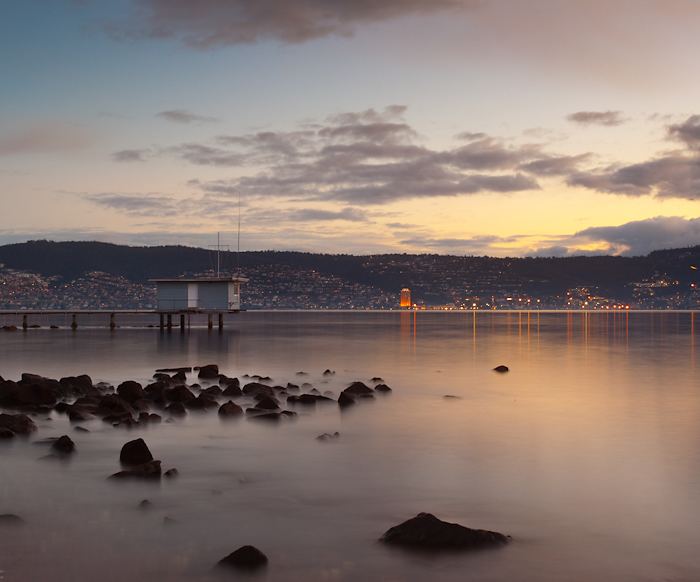 | ||
Bellerive is a suburb of the City of Clarence, part of the greater Hobart area, Tasmania, Australia. It stretches from Kangaroo Bay where it borders Rosny Park, around the curved shoreline of Bellerive Esplanade to Kangaroo Bluff, then down to Bellerive Beach and east to Second Bluff, where Bellerive borders Howrah. To the north Bellerive is bordered by the small foothills of Waverly Flora Park.
Contents
Map of Bellerive TAS 7018, Australia
History
Bellerive was first settled in the 1820s, and at that time known as "Kangaroo Point", for the large numbers Kangaroos that would be seen on the shore. Even before this time a ferryman regularly crossed the Derwent, coming ashore in the Bellerive area. Following the first settlers, the area expanded rapidly, with roads to the farming districts of Clarence Plains (Rokeby), Coal River (Richmond) and Hollow Tree (Cambridge) soon developing.
By the 1830s the name was changed to Bellerive (meaning "beautiful river bank") and the village had become the hub of eastern shore contact with Hobart, and several boats would cross between Bellerive and Sullivans Cove every day.
Early on, farming and slaughterhouses where the main businesses in the area. In 1834 there were four known hotel/inn/taverns: Clarence House (1835-1838), Golden Fleece Inn (1823-1838), Highlander (1835-1861) and the Plough (1835-1866). The Wheat Sheef (1838-1842) opened and closed during this time. The Clarence Hotel, built in 1879, has long been both a local social centre and waiting point for ferry passengers. The Bellerive Hotel existed according to licensing records between 1862-1865 and 1898-1901.
One of the oldest surviving buildings in Bellerive is the Commandant's Cottage. The original Police Station was built in 1842 from local sandstone, much of the original structure still remains intact and contains an original cell. Later cells, made from weatherboards still survive as well. The building has had various usages in it life including municipal council chambers, district library and the CIB headquarters, although it is currently used as a community arts centre. The Bellerive Primary School was also built in 1842.
The St Mark's Chapel, Bellerive an Anglican church was built in 1851 on the former site of the 1826 "Chapel of Ease".
The area around Bellerive Quay and the boardwalk has a quaint village feel, with many historical homes and buildings in the area, some of which date from the early 19th century. The old Bellerive Post Office, which was built in 1897, now houses both the Sound Preservation Museum and the Genealogical Society of Tasmania. At the point of Kangaroo Bluff is the 19th century British fortress known as Kangaroo Battery (built 1885) which is now a public park.
From 2 May 1892 until 30 June 1926 the Bellerive-Sorell Railway had its terminus on a long jetty which extended into the Bay on reclaimed land which now makes up part of the boardwalk.
Bellerive is also the eastern port of call for Hobart commuter ferries.
Sport
Bellerive is best known as the home of international cricket ground Bellerive Oval. Is it also a popular sailing area, home to Bellerive Yacht Club(1926) and has a marina located at Bellerive Quay.