
Population 1,388 (2006 census) Bellbrae Jan Juc Local time Friday 12:32 AM | Postcode(s) 3228 State electorate(s) South Barwon Postal code 3228 | |
 | ||
Weather 18°C, Wind S at 21 km/h, 86% Humidity | ||
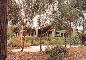
Bellbrae is a bounded rural locality in Victoria, Australia located just off the Great Ocean Road between Torquay and Anglesea. At the 2006 census, Bellbrae had a population of 1,388.
Contents
Map of Bellbrae VIC 3228, Australia
History
Bellbrae Post Office opened on 1 July 1923 (renamed from an earlier Jan Juc office) and closed in 1982.
Facilities
Bellbrae has a public hall, a football oval where the Aireys Inlet Eels (a junior Australian Rules club) play their home games, Bellbrae Primary School and a winery.
Community
Bellbrae is mainly home to hobby farms and/or produce farms. An estimated 500 residents live in an area of 12 km².
References
Bellbrae, Victoria Wikipedia(Text) CC BY-SA