
Population 6,043 (2011 census) State electorate(s) CanterburyStrathfield Postal code 2191 | Postcode(s) 2191 | |
 | ||
Belfield is an inner-western suburb of Sydney, in the state of New South Wales, Australia. It is 14 km (9 mi) south-west of the Sydney central business district, in the local government area of the Canterbury-Bankstown Council and partly in the Municipality of Strathfield.
Contents
- Map of Belfield NSW 2191 Australia
- Location
- Population
- Schools and churches
- Sport
- Commercial area
- History
- References
Map of Belfield NSW 2191, Australia
Location
Belfield has a mixture of residential, light industrial and commercial areas. A small shopping strip is located along Burwood Road. The Cooks River forms a natural border, to the north of the suburb.
Population
According to the 2011 census, there were 6,043 residents in Belfield. 56.1% of residents were born in Australia. The most common other countries of birth were Lebanon 5.4%, Korea, Republic of (South) 4.5% and China 4.0%. 41.5% of residents spoke only English at home. Other languages spoken at home included Arabic 14.1%, Italian 7.5% and Korean 6.3%. The most common responses for religious affiliation were Catholic 43.7%, Eastern Orthodox 10.7% and No Religion 9.8%.
Schools and churches
Belfield has a number of houses of worship, and St. Michael's Primary School opened in 1959. There is also a Uniting Church on Punchbowl road and a Korean Presbyterian Church on Burwood Road.
Sport
The Belfield Bowling and Recreation Club is a bowls club located near the intersection of Punchbowl Road and Georges River Road and the Cooks River. Rudd Park is home to the Belmore Eagles Soccer Club and features two tennis courts, and rugby league Enfield Federals home ground Cooke Park.
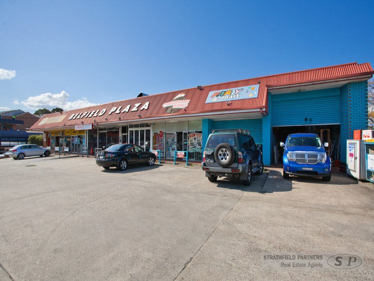
Commercial area
A small group of shops, restaurants, post office and a hotel are located on Burwood Road, near the intersection of Punchbowl Road. The Belfield area is being renovated with new shops and apartments. It also includes a pizza bar, a bakery and a cafe.
History
Land grants were made as early as 1810 for agricultural purposes, on the northern side of Punchbowl Road (towards Strathfield). The "Punch Bowl" was the name that early settlers gave the almost circular valley where the old road to Georges River crossed Cooks River at a ford. This is now where Georges River Road meets Punchbowl Road (the road to "The Punch Bowl") in Belfield.
The name of the suburb is believed to have been created by combining the names of the two neighbouring suburbs, Belmore and Enfield. From information supplied by the Postmaster General's Department, the name "Belfield" first appeared on their records in 1930 when the Belfield branch of the ALP wrote asking that the Department establish a post office at North Belmore. Although several applications were made over the years, it was not until 1936 that the postal inspector reported in favour of a non-official post office. His report read: "...There is a business centre here consisting of sixteen shops, one garage and one Hotel. It is a prosperous business section. This part of the locality is approximately midway between Belmore and Enfield. It is known as Belfield"... - the name derived from its position between the two suburbs mentioned, Belmore and Enfield.
The Department of Lands advised that it had no objection to the use of the name "Belfield" and approval was subsequently given for the establishment of a non-official post office. The official boundaries for Belfield were gazetted during August 1993 together with all other suburbs in the Canterbury Local Government Area. Three streets are named after World War I sites of importance to Australians; Bazentin Street (after the town Bazentin in the Somme, France, site of the Battle of Bazentin Ridge in July 1916), Persic Street (after the SS Persic, a ship that transported Australian soldiers to Europe during the war) and Mena Street (after Mena Camp, Egypt, an AIF training base prior to the Gallipoli Campaign). A fourth street, Birdwood Avenue, is named after General William Birdwood, the ANZAC commander in Gallipoli.
The majority of houses in Belfield were built after World War II, as public housing. Many of the houses have been turned over to private ownership over the past fifty years. Australia's first Pizza Hut opened in Belfield in April 1970, but closed in the late 1990s. Belfield is home to the Bridge of Belfield Pharmacy, which is a family-run business dating back many generations.