Area code(s) 021 Area 1,225 km² Local time Thursday 9:03 AM | Time zone WIB (UTC+7) Website www.bekasikab.go.id Population 2.829 million (2014) | |
 | ||
Weather 27°C, Wind SW at 5 km/h, 83% Humidity | ||
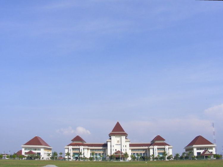
Bekasi Regency is a regency (kabupaten) of West Java Province, Indonesia. The capital city is Cikarang. It is bordered by DKI Jakarta and Bekasi Municipality to the west, by Bogor Regency to the south, and by Karawang Regency to the east.
Contents
- Map of Bekasi Tambelang Bekasi West Java Indonesia
- History
- Administrative districts
- Cikarang Pusat
- Cibitung District
- Jababeka
- EJIP
- BIIE
- Newton Techno Park
- References
Map of Bekasi, Tambelang, Bekasi, West Java, Indonesia
It has an area of 1,224.88 km2 and contained 2,630,401 people at the 2010 Census; the latest official estimate (as at January 2014) is 2,828,767, with a density of 2,309 people/km2.
History
During the colonial era, Bekasi was dominated by private estates (Dutch: particuliere landen; Indonesian: tanah partikelir) which came under the rule of landlords (Dutch: landheeren; Indonesian: juragan or tuan tanah). The landlords could impose taxation (cuke), tribute (upeti) and force labor (rodi) on the inhabitants of their private estates.
Among the most powerful gentry families in Bekasi was the Khouw family of Tamboen (Indonesian: keluarga Khouw van Tamboen). They ruled their extensive landholdings from their country house, landhuis Tamboen (now Gedung Juang Tambun).
Administrative districts
Bekasi Regency is divided into 23 districts (kecamatan), tabulated below with their 2010 Census population:
