
Elevation 950 m (3,120 ft) Local time Thursday 3:35 AM | Time zone EET (UTC+2) | |
 | ||
Weather 9°C, Wind SW at 3 km/h, 76% Humidity | ||
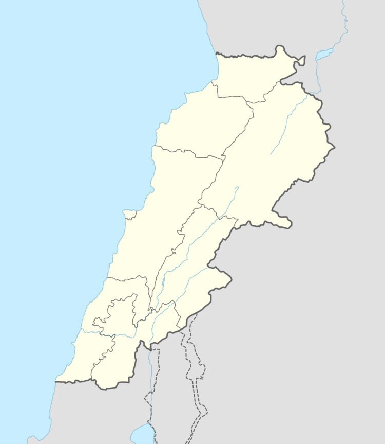
Beit Yahoun (Arabic: بيت ياحون) is a village in Lebanon located near Bint Jbeil, in the Nabatiye Governorate. Beit Yahoun is 117 km from Beirut. It is 950 meters above sea level and covers an area of 485 hectares.
Contents
Map of Beit Yahoun, Lebanon
History
Visiting in 1875, Victor Guérin described it as a village with 150 Metualis.
In 1881, the Palestine Exploration Fund's Survey of Western Palestine (SWP) described it: "A village, built of stone, containing about fifty Metawileh, situated on hill-top, with grapes and figs. There are no springs, but a birket and cisterns for water supply.”
References
Beit Yahoun Wikipedia(Text) CC BY-SA