
Population (2015) 765 | Founded 1940 Local time Thursday 3:28 AM | |
 | ||
Weather 13°C, Wind NW at 3 km/h, 78% Humidity | ||
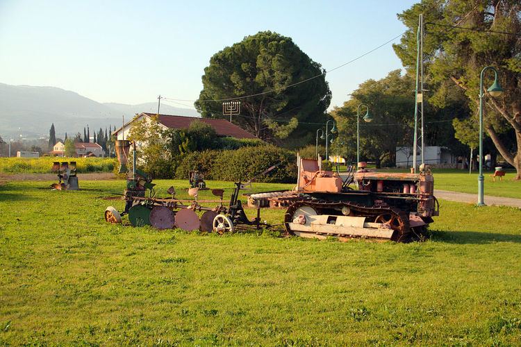
Beit Hillel (Hebrew: בֵּית הִלֵּל) is a moshav in northern Israel. Located on the west bank of the Hasbani River, about 5 kilometres from Kiryat Shmona, its 3,500 dunams fall under the jurisdiction of Mevo'ot HaHermon Regional Council. In 2015 it had a population of 765.
Contents
Map of Beit Hillel, Israel
History
The moshav was founded in 1940 as one of the Ussishkin fortresses by a mixed group of immigrants from Europe and native Sabras, for workers in the tower and stockade settlements in the Upper Galilee. It was named after Hillel Yaffe, a doctor who immigrated to Mandatory Palestine during the Second Aliyah. Although it was abandoned after several years, it was resettled by retired soldiers in 1949.
Today the inhabitants of the moshav make their livelihood from agriculture, breeding cows and tourism. The moshav is considered especially attractive for tourists in northern Israel, mainly because of its location in Upper Galilee between the kibbutzim of Kfar Blum and HaGoshrim and near the Hasbani.