
Founded by Bulgarian immigrants Local time Thursday 3:27 AM | Founded 1929 Population (2015) 573 | |
 | ||
Weather 14°C, Wind S at 10 km/h, 100% Humidity | ||
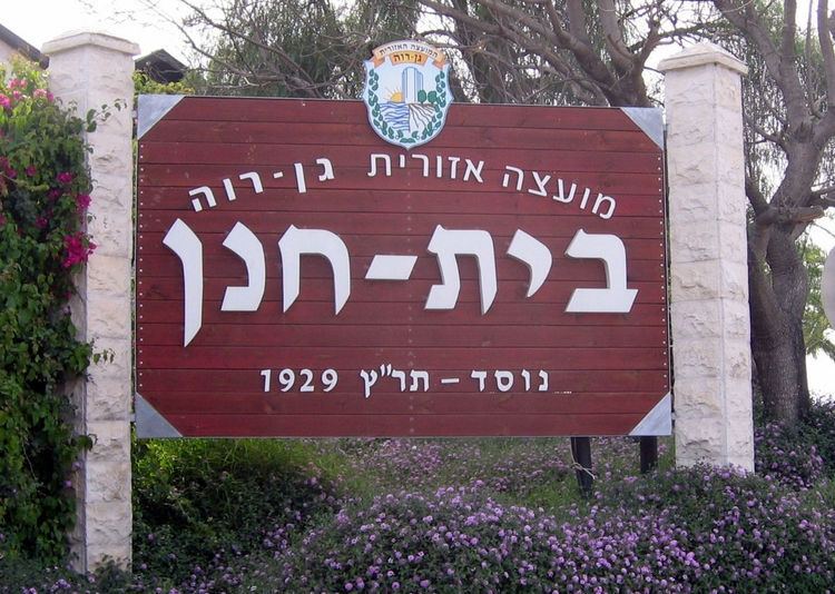
Beit Hanan (Hebrew: בֵּית חָנָן) is a moshav in central Israel. Located around two kilometers west of Ness Ziona, it falls under the jurisdiction of Gan Raveh Regional Council. In 2015 its population was 573.
Contents
Map of Beit Hanan, Israel
History
Founded during the Hanukkah holiday of 1929 by Jewish immigrants from Bulgaria, Beit Hanan was the first Jewish agricultural community to be established after the 1929 Palestine riots. The name is taken from the Bible, specifically (1 Kings 4:9). According to a census conducted in 1931 by the British Mandate authorities, Beit Hanan had a population of 178 inhabitants, in 50 houses.
In 2007, Beit Hanan had 750 acres (3.0 km2) of farmland. The main economic branches are eggs, orchards (pecan, citrus, avocado, mango, anona and olives) and greenhouses (flowers, vegetables and seedlings). The moshav also has banquet facilities on the grounds of a historic home.
A Greek-inscribed mosaic floor was discovered within the boundaries of the moshav. A rare species of red iris grows west of the moshav, in a wild flower reserve stretching over 8 acres (32,000 m2).