
OS grid NR959412 Elevation 826 m | Topo map OS Landranger 69 Prominence 235 m Listing Marilyn | |
 | ||
Translation transverse hill (Gaelic) Similar | ||
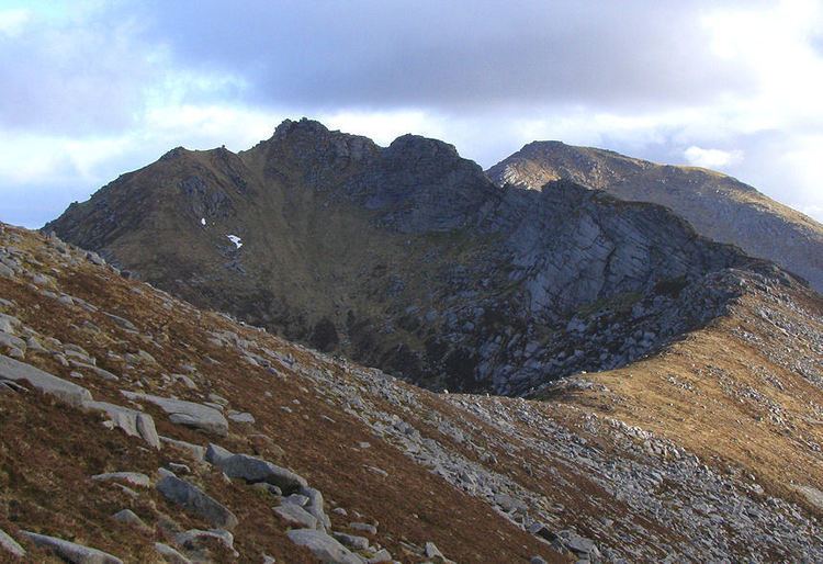
Beinn Tarsuinn is a mountain on the Isle of Arran, Scotland. It is the southernmost of the four Corbetts on the island, lying between Glen Rosa to the east and Glen Iorsa to the west.
Map of Beinn Tarsuinn, Isle of Arran, UK
Beinn Tarsuinn is often climbed in conjunction with the neighbouring peak of Cìr Mhòr, to which it is linked by a rocky ridge forming the subsidiary top of A' Chìr. The crossing of A' Chìr involves scrambling, however the two peaks can be linked without crossing A' Chìr by means of a path that traverse the ridge's western side. The simplest and shortest route up Beinn Tarsuinn is via one of the two ridges on either side of the Coire a' Bhradain; both ridges drop down into Glen Rosa, the usual access for most walkers to this group of hills.
References
Beinn Tarsuinn (Corbett) Wikipedia(Text) CC BY-SA