
Listing Corbett, Marilyn Topo map OS Landranger 9 Translation Old Norse | Elevation 773 m | |
 | ||
Similar Cranstackie, Foinaven, Beinn a' Chuallaich, Beinn a' Bhathaich Àrd, Am Bàthach | ||
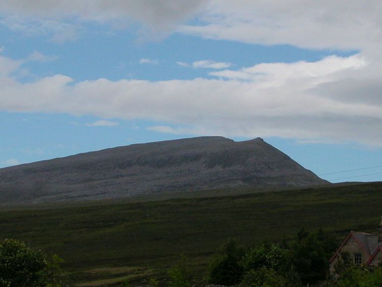
Beinn Spionnaidh is a mountain of 773 m in Sutherland, the northwestern tip of the Scottish Highlands. It is a Corbett located west of Loch Eriboll and northeast of Cranstackie and Foinaven. It is like its neighbours in that the top, a 1 km long whaleback running southwest to northeast, is covered with loose, broken quartzite. A steep spur to the northwest, Cioch Mhor, provides one route to the top, and good views of the Kyle of Durness; the gentler slope to the southeast is tiring due to the loose rock on the upper section.
Map of Beinn Spionnaidh, Lairg, UK
References
Beinn Spionnaidh Wikipedia(Text) CC BY-SA