
Coordinates 56° 20' N; 4° 38' W OS grid NN36751793 Elevation 933 m | Topo map OS Landranger 50 Prominence 314 m | |
 | ||
Pronunciation Gaelic [ˈpeiɲ ə ˈxavəɾʲ] ( listen) Similar An Caisteal, Beinn a' Chroin, Cruach Ardrain, Beinn Tulaichean, Ben Vane | ||
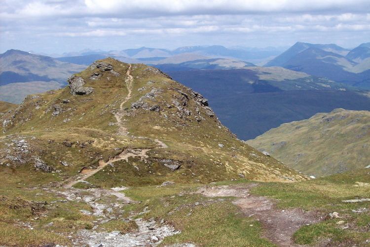
Beinn Chabhair (Gaelic: Beinn a' Chabhair) is a Scottish mountain. It has fine views down to Loch Lomond.
Map of Beinn Chabhair, Lochearnhead, UK
A common approach is from Inverarnan, up a steep eroded path beside the dramatic waterfalls of the Ben Glas Burn then finding a vague route across fairly level but very boggy moorland before walking up the hill itself and finding a way around a series of craggy outcrops to the summit.
References
Beinn Chabhair Wikipedia(Text) CC BY-SA