
OS grid NN954923 Prominence 258 m Easiest route Hiking | Elevation 1,157 m | |
 | ||
Translation Hill of the mastiff (Gaelic) Topo map OS Landranger 43 and 36 Similar Monadh Mòr, The Devil's Point, Cairn Toul, Càrn a' Mhàim, Sgòr an Lochain Uaine | ||
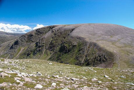
Beinn Bhrotain (Scottish Gaelic: Hill of the mastiff) or Ben Vrottan is a Scottish mountain in the Cairngorms range, 18 kilometres west of Braemar in the county of Aberdeenshire.
Map of Beinn Bhrotain, Ballater, UK
References
Beinn Bhrotain Wikipedia(Text) CC BY-SA