
Demonym(s) Bekenaar Postcode 6176, 6190–6199 Area 21.69 km² | Elevation 81 m (266 ft) Time zone CET (UTC+1) Website www.gemeentebeek.nl Local time Wednesday 8:50 PM Area code 046 | |
 | ||
Weather 6°C, Wind SE at 14 km/h, 94% Humidity | ||
Beek ( pronunciation ) (Limburgish: Baek) is a town and municipality in the southeastern Netherlands, in the province of Limburg. As of 2012, Beek has a population of about 16,400, of which about 8,800 live in the town of Beek.
Contents
Map of Beek, Netherlands
The municipality of Beek makes part of the region of South Limburg and lies between the city of Geleen in the north and Maastricht in the south, and lies furthermore southeast of interchange Kerensheide and the chemical industries of Chemelot. It has a slightly hilly landscape with altitudes differing between 70 and 120 metres (230 and 390 ft) above sea level, and has two small forests: Kelmonderbos between Beek and Kelmond, and Spaubekerbos near Spaubeek. The Keutelbeek flows through and has its source in the municipality of Beek.
Population centres
Settlements in the municipality of Beek (population within brackets on January 1, 2005).
Town:
History
In 1982, Spaubeek merged with Beek and the municipality got his current size. In 2005, an archaeological site was found between Beek and Neerbeek, consisting of the remainings of a settlement from 5,000 BC. Because of this, Beek is considered the eldest village in the Netherlands.
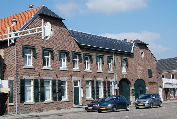
Buildings
Noteworthy buildings:
Transportation
The municipality of Beek is surrounded by A2 motorway (Amsterdam-Belgian border) in the west and A76 motorway (Belgian border-German border) in the north.
The municipality has two railway stations:
Beek also contains an airport:
Economy
When KLM exel operated, its head office was on the grounds of Maastricht Aachen Airport in Beek. When V Bird operated, its head office was on the grounds of the airport.
Politics
The municipal council of Beek has 17 seats.
The executive board (2010-2014) consisted of four persons:
Mayor:
Aldermen: