Elevation 370 m | Local time Wednesday 2:43 PM | |
 | ||
Weather 13°C, Wind SW at 18 km/h, 95% Humidity | ||
Beefhide is an unincorporated community spanning across a county line between Letcher County and Pike County, Kentucky, United States.
Contents
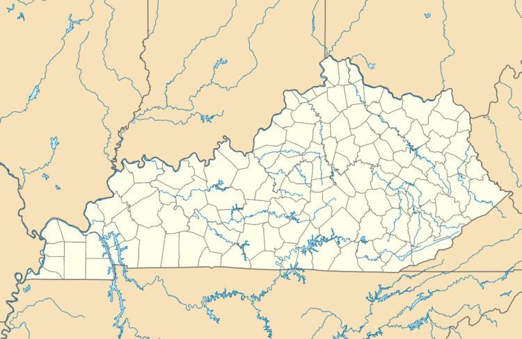
Map of Beefhide, Kentucky 41537, USA
History
A post office was established at Beefhide in 1901, and remained in operation until 1956. The community takes its name from nearby Beefhide Creek.
Geography
Beefhide is located along Beefhide Creek which runs east and north out of Letcher County, into Pike County. The post office location per GNIS (37.2367436°N 82.6357730°W / 37.2367436; -82.6357730 (Beefhide Post Office (historical))) is in Pike County, Kentucky and the populated place location per GNIS is in both Letcher County and Pike County (37.2398277°N 82.6273777°W / 37.2398277; -82.6273777 (Beefhide (map: Jenkins West)) and 37.2414945°N 82.6218220°W / 37.2414945; -82.6218220 (Beefhide (map: Jenkins East))).
