
Source Trischman Knob Country United States of America | Mouth Fall River | |
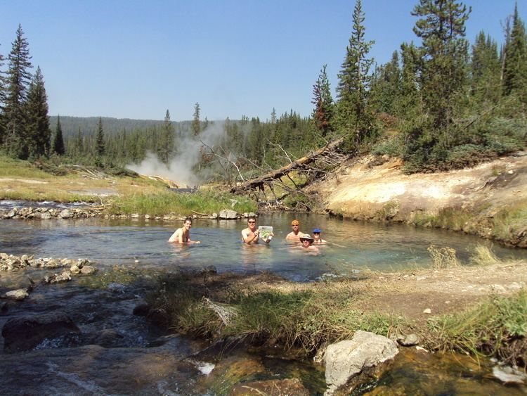 | ||
The Bechler River is a remote major river flowing southwest entirely within the confines of Yellowstone National Park to it confluence with the Fall River in the southwest section of the park. The river was named by Frank Bradley, a member of the 1872 Hayden Geological Survey for cartographer and explorer Gustavus R. Bechler, the chief surveyor and mapmaker on the survey. Henry Gannett also a member of the survey claimed that Bechler discovered the river, but trapper Osborne Russell explored the area in 1830.
Contents
Map of Bechler River, Wyoming, USA
WaterfallsEdit
The Bechler River is located in the remote Cascade Corner of the park. A name given to the southwest section of the park by then superintendent Horace Albright in 1921 for the proliferation of waterfalls and cascades in the Fall and Bechler River drainages. Several major Yellowstone waterfalls exist in the Bechler River watershed:
AnglingEdit
Although the Bechler River is in the remote Cascade Corner of the park, it is popular with local anglers. It holds mostly cutthroat trout and a few rainbow trout. Because of spring runoff, the river is generally not fishable until mid-July and access is difficult. The river is paralleled by the Bechler River Trail which starts at Cave Falls on the park's south boundary or spurs off the Shoshone Lake trail.