
Population 7,859 (2011 census) Postcode(s) 2155 State electorate(s) Castle Hill Founded 2002 Federal division Division of Mitchell | Established 2002 LGA(s) The Hills Shire Area 3 km² Postal code 2155 | |
 | ||
Location 40 km (25 mi) west of Sydney CBD | ||
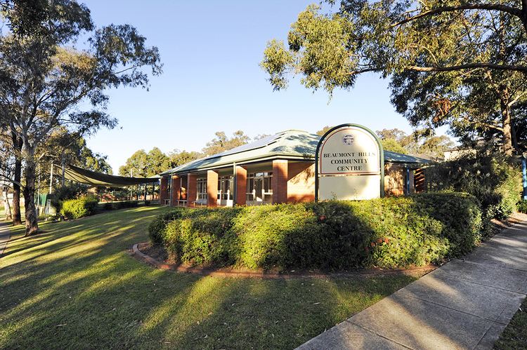
Beaumont Hills is a suburb of Sydney, in the state of New South Wales, Australia 40 kilometres west of the Sydney central business district, in the local government area of The Hills Shire. Beaumont Hills is part of the Greater Western Sydney region and the Hills District.
Contents
- Map of Beaumont Hills NSW 2155 Australia
- History
- Demographics
- Residential areas
- Commercial area
- Public transport
- Hillsbus
- References
Map of Beaumont Hills NSW 2155, Australia
History
Beaumont Hills was formerly part of the suburb of Kellyville, as was Kellyville Ridge. Beaumont Hills became a separate suburb in 2002. Beaumont Hills was developed as a low-density residential suburb in a time frame similar to Kellyville.
Demographics
According to the 2011 census of Population, there were 7,859 residents in Beaumont Hills. 63.2% of residents were born in Australia. The most common other countries of birth were Philippines 3.9%, England 3.3% and India 3.1%. 67.5% of residents spoke only English at home. Other languages spoken at home included Hindi 2.4%, Cantonese 2.3% and Tagalog 2.1%. The most common responses for religious affiliation were Catholic 35.4%, Anglican 18.2% and No Religion 10.3%.
Residential areas
Beaumont Hills was developed in the early 2000s adopting its name sake in 2003, suburb featuring a number of housing estates. 'The Sanctuary' located to the west is fronted by a natural creek reserve. 'The Outlook' is at the centre. The suburb is developed with a range of house styles. Turkey Nest Park on the highest point has panoramic views all the way to the Blue Mountains.
Commercial area
Beaumont Hills Shopping Centre officially opened in September 2009. It is home to a local grocery shop, chemist, seafood shop, Chinese Restaurant, bakery, medical centre and a real estate agency.
Public transport
Hillsbus provide several bus routes that run through Beaumont Hills (Mungarie Road, The Parkway, Brampton Drive) on a regular basis.