
Quadrant NW Sector Southwest Elevation 682 m | Ward 10 Area 86 ha Population 2,126 (2012) | |
 | ||
Bearspaw, a residential neighbourhood located in south west Edmonton, Alberta, Canada, is named after the Stony Indian Chief Masgwaahisd (Bearspaw). It is located close to the shopping and services located in Century Park, Gateway Boulevard, and South Edmonton Common.
Contents
Map of Bearspaw, Edmonton, AB, Canada
According to the 2001 federal census, most of the residential construction in Bearspaw occurred during the 1980s. At that time just over four out of every five (83.5%) residences were built, and one in ten (14.3%) during the 1970s. Residential development in the neighbourhood was substantially completed by 1990.
Common type of residence in the neighbourhood, according to the 2005 municipal census, is the single-family dwelling, accounting for seven out of every ten (72%) residences in the neighbourhood. Another one in five (19%) are duplexes. The remaining one out of ten (9%) are row houses. Nine out of ten (93%) of residences are owner-occupied.
The neighbourhood is bounded on the west by Blackmud Creek Ravine, to the south by Anthony Henday Drive, and to the east by Calgary Trail/Gateway Boulevard. The north boundary is located approximately half a block south of 18 Avenue. Calgary Trail provides access to destinations south of the city including the Edmonton International Airport. Gateway Boulevard provides access to Old Strathcona, the University of Alberta, and the downtown core. Anthony Henday Drive provides access to destinations in west Edmonton including West Edmonton Mall.
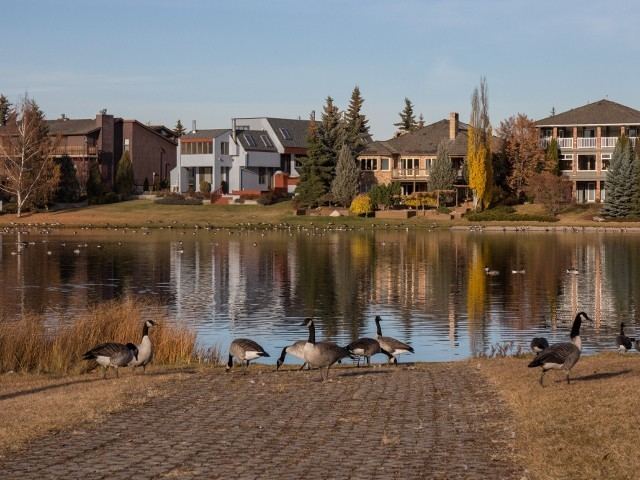
The Bearspaw neighbourhood includes several amenities in and near the area. The Big Bear Park, a large hill/cliff, provides access to the woods on the banks of Blackmud Creek Ravine, and is casually called 'the Ravine' by the residents. Across the Bearspaw Dr. from the Big Bear Park, there is a Church, along with a lake and a greenbelt. The William Lutzky YMCA and the 7-11 Gas and Convenience Store are just north west of the neighbourhood. On the north eastern borders of Bearspaw the FasGas convenience and gas store as well as the Keeheewin Elementary School are located.
Bearspaw has access to the Edmonton Transit System (ETS) via Bus route 40, and School Special route 46. Prior to the LRT expansion in Century Park the route 17 was also available. By taking the 40 or the 46, ETS passengers arrive at the Century Park Station. From there, the LRT is accessible, allowing passengers to travel to a wide variety of locations, such as the Downtown, Rexall Place, and the University of Alberta Campus.
The Edmonton Public Schools High School District for Bearspaw is Harry Ainlay Composite High School. The school is accessible via 111 Street west of the neighbourhood, or the ETS by bus 40/46 and then the LRT to Southgate Station.
Bearspaw and Keheewin are the two neighbourhoods that comprise the Yellowbird Community, and both are part of the Yellowbird East Community League.
Demographics
In the City of Edmonton's 2012 municipal census, Bearspaw had a population of 7003212600000000000♠2,126 living in 7002829000000000000♠829 dwellings, a −4.1% change from its 2009 population of 7003221600000000000♠2,216. With a land area of 0.86 km2 (0.33 sq mi), it had a population density of 7003247210000000000♠2,472.1 people/km2 in 2012.