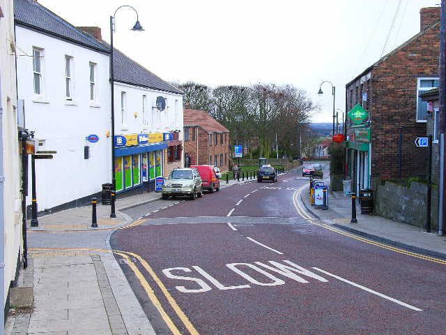
Population 2,283 (2011 Census) Local time Wednesday 2:51 AM | OS grid reference NZ238431 Sovereign state United Kingdom Dialling code 0191 | |
 | ||
Weather 0°C, Wind W at 10 km/h, 88% Humidity | ||
Bearpark is a village and civil parish in County Durham in England. It is situated two and a half miles west of Durham, and a short distance to the north of Ushaw Moor. The name may be a corruption of the French term Beau Repaire – meaning "beautiful retreat". Half a mile to the north of the present village lies the ruins of Beaurepaire Priory, built in 1258 by the Prior of Durham, Bertram de Middleton, as a retirement residence. The building was extended in the subsequent three centuries, becoming a retreat for the Durham monks in a similar way to the nearby Finchale Priory. The manor was largely destroyed by the Scots in 1640 and 1644 during the British Civil War. Bearpark later became a coal mining village until 1984, when the mine was closed.
Contents
Map of Bearpark, Durham, UK
Bearpark Community Centre is at the hub of the local village, a red brick building originally built in 1921 as a miners' welfare hall. An old pit wheel stands in front of the building, a memorial to the village's mining history.
