
Country United States Time zone CST (UTC-6) Elevation 135 m Zip code 62618 Population 6,983 (2010) | Established November 6, 1923 ZIP codes 62618 Area 75.73 km² Local time Tuesday 8:42 PM | |
 | ||
Weather 19°C, Wind S at 24 km/h, 66% Humidity | ||
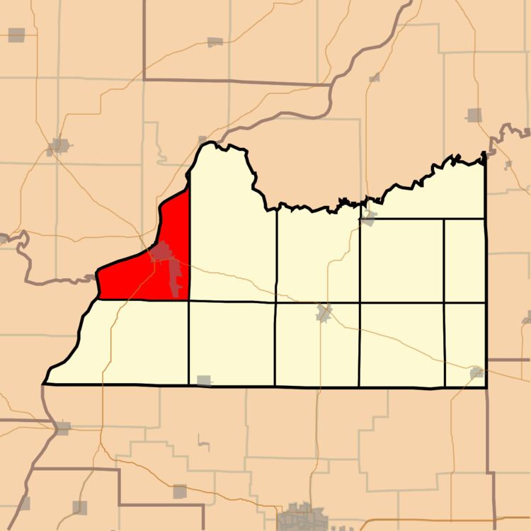
Beardstown Township is one of eleven townships in Cass County, Illinois, USA. As of the 2010 census, its population was 6,983 and it contained 2,741 housing units.
Contents
- Map of Beardstown IL 62618 USA
- Geography
- Cities towns villages
- Unincorporated towns
- Cemeteries
- Major highways
- Airports and landing strips
- Rivers
- Lakes
- School districts
- Political districts
- References
Map of Beardstown, IL 62618, USA
Geography
According to the 2010 census, the township has a total area of 29.24 square miles (75.7 km2), of which 25.61 square miles (66.3 km2) (or 87.59%) is land and 3.63 square miles (9.4 km2) (or 12.41%) is water.
Cities, towns, villages
Unincorporated towns
(This list is based on USGS data and may include former settlements.)
Cemeteries
The township contains these three cemeteries: Beardstown City, Oak Grove and Otgen.
Major highways
Airports and landing strips
Rivers
Lakes
School districts
Political districts
References
Beardstown Township, Cass County, Illinois Wikipedia(Text) CC BY-SA