
 | ||
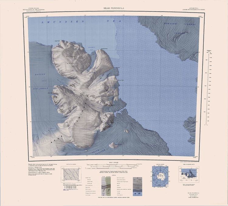
Bear Peninsula (74°35′S 111°00′W) is a peninsula about 80 km (50 mi) long and 40 km (25 mi) wide which is ice covered except for several isolated rock bluffs and outcrops along its margins, lying 48 km 30 mi) east of Martin Peninsula on Walgreen Coast, Marie Byrd Land, Antarctica.
First delineated from aerial photographs taken by USN Operation Highjump in January 1947. Named by US-ACAN after the ice-ship USS Bear, flagship of the USAS, from which three reconnaissance flights were made in late February 1940, resulting in the discovery of Walgreen Coast (with probable sighting of this feature) and the Thurston Island area. This ship, under the name Bear of Oakland, also served as flagship of the Byrd AE, 1933-35, which based at the Bay of Whales, Ross Ice Shelf. Launched in 1874 at Greenock, Scotland, for use in the sealing trade, she sank in 30-foot seas and high winds in the North Atlantic, March 19, 1963, at which time she was being towed from Nova Scotia to Philadelphia.