
Easiest route Hiking | Elevation 477 m | |
 | ||
Parent range Ridge-and-Valley Appalachians Range Ridge-and-Valley Appalachians Similar Little Cacapon Mountain, The Devil's Nose, Peters Mountain, Reddish Knob, Big Schloss | ||
Bear Garden Mountain is a forested mountain ridge of the Ridge-and-valley Appalachians in Hampshire County, West Virginia and Frederick County, Virginia.
Contents
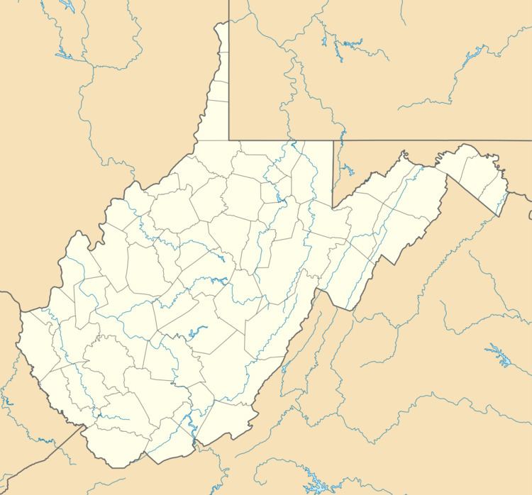
Map of Bear Garden Mountain, Bloomery, WV 26711, USA
GeographyEdit
Bear Garden Mountain runs southwest-northeast from its northern terminus at Bear Garden run in northern Frederick County to its southern terminus at Mill Branch creek in Hampshire County, near Capon Bridge. A 2.5 miles (4.0 km) stretch of the ridge, starting 3 miles (4.8 km) south of its northern terminus, serves as the Virginia-West Virginia border.
The mountain is bisected by the Northwestern Turnpike (U.S. Route 50) to the east of Capon Bridge and by the Bloomery Pike (West Virginia Route 127/State Route 127) at Good.
References
Bear Garden Mountain Wikipedia(Text) CC BY-SA