
Country United States of America | ||
 | ||
Similar Branciforte Creek, Mount Thayer, Tip Toe Falls, Mount Bielawski, Long Ridge | ||
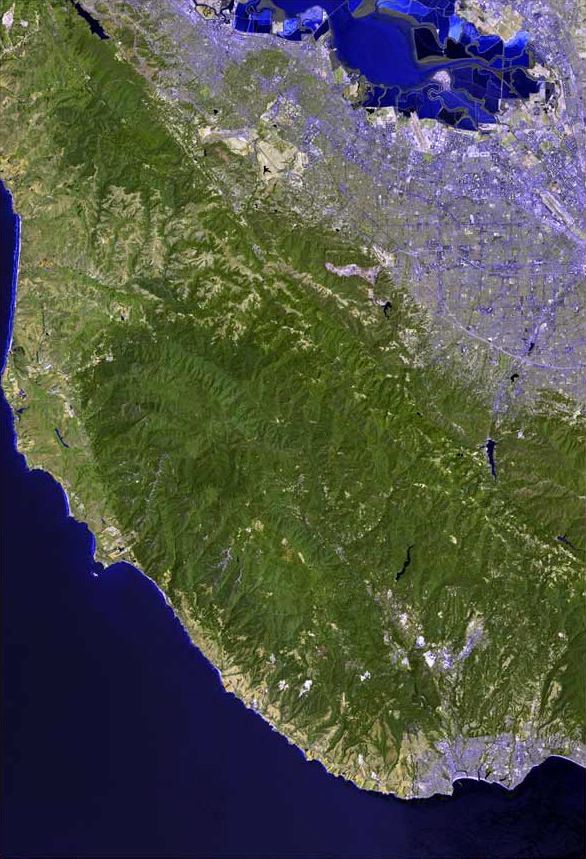
Bean Creek is a 9.1-mile-long (14.6 km) stream that rises on the western slopes of the Santa Cruz Mountains and discharges to Zayante Creek. This stream traverses relatively rugged, forested lands and is the locus of an important fossil bearing formation. These fossils are embedded in the Lower Santa Margarita Formation and include Astrodapsis spatiosus;also rare species of gastropod Thais cf. lapillis, and shark teeth (e.g. Isurus hastalis) The watershed area is 8.81 square miles (22.8 km2) and the peak flow of Bean Creek has been measured at 1,380 cubic feet (39 m3) per second. Since 2001 the Scotts Valley Water District has monitored regularly at three stations within Bean Creek for heavy metals and nitrates. Significant groundwater recharge occurs in the streambed of Bean Creek.