
Population Uninhabited | Highest elevation 360 m (1,180 ft) Elevation 360 m | |
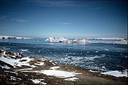 | ||
Beak Island is an arc-shaped island, 7 kilometres (4 nmi) long and 360 metres (1,200 ft) high, lying 1 kilometre (0.5 nmi) northeast of Eagle Island in the northeast part of Prince Gustav Channel. It was probably first seen in 1902–03 by members of the Swedish Antarctic Expedition under Otto Nordenskiöld. The Falkland Islands Dependencies Survey surveyed Beak Island in 1945 and so named it because of its shape and relative position to nearby Tail Island and Eagle Island.
Map of Beak Island, Antarctica
References
Beak Island Wikipedia(Text) CC BY-SA