
Grid position 175/295 PAL District Tyre District Elevation 175 m (574 ft) Area code +9617 | Country Lebanon Founded by Ali Diab Local time Tuesday 11:59 PM | |
 | ||
Governorate South Lebanon Governorate Weather 22°C, Wind E at 24 km/h, 35% Humidity | ||
Bazourieh (Arabic: البازوريه) is a municipality in Southern Lebanon, located in Tyre District, Governorate of South Lebanon.
Contents
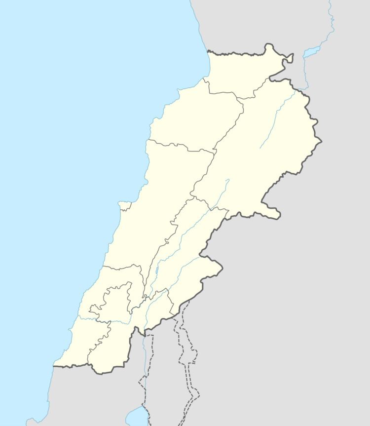
Map of Bazouriye, Lebanon
Name
According to E. H. Palmer, the name means "producing pot-herbs".
History
In 1596, it was named as a village, al-Bazuri, in the Ottoman nahiya (subdistrict) of Tibnin under the liwa' (district) of Safad, with a population of 22 households, all Muslim. The villagers paid a fixed tax rate of 25% on agricultural products, such as wheat, barley, summer crops, fruit trees, goats and beehives, in addition to occasional revenues; a total of 4,243 akçe.
In 1881, the Palestine Exploration Fund's Survey of Western Palestine (SWP) described it: "A village built of stone, containing 300 Metawileh, situated on a ridge. One oil-press and one rock-cut cistern are the only antiquities. Water is obtained from a spring half a mile to the west."
Other
Bazouriyeh is the ancestral home of Hassan Nasrallah.