
Local time Tuesday 5:44 PM | Elevation 0 cm Population 276 (2006) Area code 709 | |
 | ||
Weather -6°C, Wind W at 24 km/h, 61% Humidity | ||
Tour of baytona newfoundland
Baytona is a small rural community found in Newfoundland and Labrador. It is situated off of route 340, which runs from Lewisporte to Twillingate island, aptly named "Road to the Isles". A bay separates Baytona from a neighboring town called Birchy Bay. The first settlers of Baytona were fishermen, with women mainly staying home to raise children; however, with a depletion in cod stocks and lobsters, there was a shift away from the fishing industry.
Contents
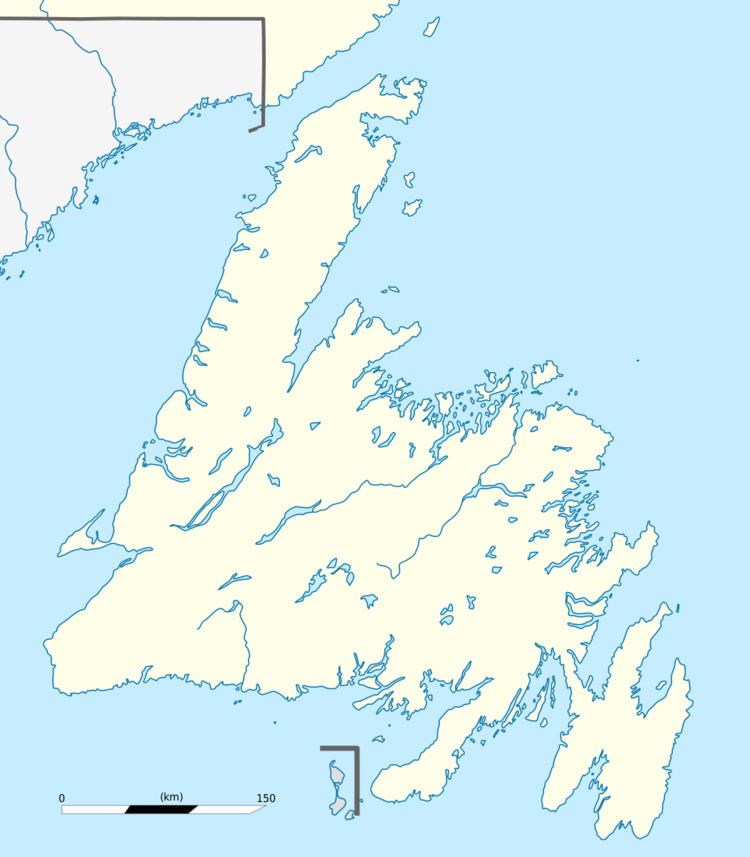
Map of Baytona, NL, Canada
Currently the majority of people living in Baytona made a living from the forestry industry,but with the recent shutdown of Abitibi and the Grandfalls newsprint mill, many are left in hard economic situations. According to the 2006 census there are 276 residents, with a 15.1% population loss between 2001 and 2006
Baytona has a fire department, town council and a recreation committee. There is currently one running convenience store. The community has a playground, and a basketball court.
The community has an Anglican and a Pentecostal church.
Name change
Originally, Baytona was known as "Birchy Bay North". In 1958 the name was changed to "Gayside" to help the flow of mail delivery. The name was a play on the word "gay", which at that time meant happy, implying that Gayside was the more pleasant of the two communities. However, in 1985, due to a change in definition of the word "gay", and subsequent joking and harassment of neighbouring communities, the name of the town was, once again, changed from "Gayside" to "Baytona".