
Country United States of America | ||
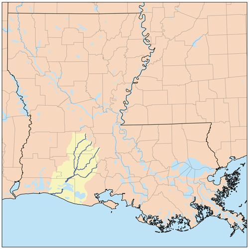 | ||
Nezpique River (locally pronounced /ˈnɛpəkeɪ/, translated to "tattooed nose bayou") is a small river located in the Mermentau River basin of south Louisiana, USA. The river is 70 miles (110 km) long and is navigable by small shallow-draft boats for 23 miles (37 km) of lower course.
Map of Nezpique, Bayou, Louisiana, USA
The area was first settled by the Attakapa Indian tribe. The River is named after the Bayou Nezpiqué village which was near property owned by William Wikoff, who bought 2,733 acres (11 km2) on the west bank of the river from Le Tortue, an Attakapas Indian, calling himself chief of the village of Nezpiqué, and his son, Celestine," recorded in 1791. In 1932, linguist William A. Read explained that the word Nezpiqué, or "tattooed nose", "simply emphasizes the fact that the Indians in its vicinity practiced the art of tattooing."
The River depth in the Upper Bayou region in Evangeline Parish is about 7–10 feet average, while in the lower River course it maximize to about 35–40 feet average.
The River contains the Upper Bayou Nezpique No 7 Dam in Evangeline Parish, Louisiana which was completed in 1970. It is used for flood control purposes and has a normal surface area of 1 acre (4,000 m2). It is of earth construction and its length is 1,741 feet (531 m). Maximum discharge is 746 cubic feet (21.1 m3) per second. Its capacity is 1,500 acre feet (1,900,000 m3).
Also, the River contains the Crooked Creek Reservoir which is impounded by the Upper Bayou Nezpique No 3 Dam in Evangeline Parish, Louisiana. It is used for flood control and recreation purposes. Construction was completed in 1974 and it has a normal surface area of 432 acres (1.7 km2).