
- land 17.6 sq mi (46 km) Area 52.32 km² | - summer (DST) CDT (UTC-5) Area code 985 | |
 | ||
- water 2.6 sq mi (7 km), 12.87% Parish | ||
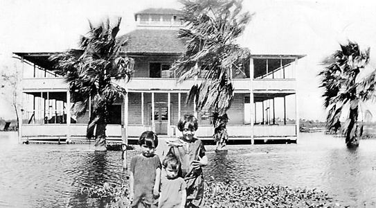
Bayou Gauche is a census-designated place—CDP and fishing village, with an adjacent natural bayou and wetlands. It is located within St. Charles Parish, in southeastern Louisiana, of the Southern United States.
Contents
Map of Bayou Gauche, LA, USA
Geography
Bayou Gauche is part of the Greater New Orleans region. It is located at 29°49′31″N 90°26′5″W (29.825162, -90.434727).
According to the United States Census Bureau, the designated CDP has a total area of 20.2 square miles (52 km2), of which, 17.6 square miles (46 km2) is land, and 2.6 square miles (6.7 km2) (12.93%) is water.
Economy
The fishing and shellfish industries have been important in the local economy. Some residences for people in those fields, and their families, are stilt houses in the bayou and wetlands.
Oil wells for petroleum production are also present.
Demographics
As of the census of 2000, there were 1,770 people, 598 households, and 508 families residing in the CDP. The population density was 100.7 people per square mile (38.9/km²). There were 637 housing units at an average density of 36.2 per square mile (14.0/km²).
The racial makeup of the CDP was 96.84% White, 1.53% African American, 0.28% Native American, 0.11% Asian, 0.85% from other races, and 0.40% from two or more races. Hispanic or Latino of any race were 1.47% of the population.
There were 598 households out of which 44.8% had children under the age of 18 living with them, 74.4% were married couples living together, 8.4% had a female householder with no husband present, and 14.9% were non-families. 11.4% of all households were made up of individuals and 4.7% had someone living alone who was 65 years of age or older. The average household size was 2.96 and the average family size was 3.19.
In the CDP, the population was spread out with 29.1% under the age of 18, 7.6% from 18 to 24, 32.5% from 25 to 44, 24.2% from 45 to 64, and 6.6% who were 65 years of age or older. The median age was 34 years. For every 100 females there were 101.4 males. For every 100 females age 18 and over, there were 97.6 males.
The median income for a household in the CDP was $51,667, and the median income for a family was $52,212. Males had a median income of $45,982 versus $23,966 for females. The per capita income for the CDP was $22,170. None of the families and 1.7% of the population were living below the poverty line, including no under eighteens and none of those over 64.
Education
St. Charles Parish Public School System operates public schools: