
Flag Coat of arms Autonomous community Cantabria Time zone CET (UTC+1) Province Cantabria | Country Spain Capital Santander Area 268.3 km² | |
 | ||
Municipalities List
El Astillero, Camargo, Miengo, Penagos, Piélagos, Santa Cruz de Bezana, Santander, Villaescusa Similar Palacio de la Magdalena, Magdalena Peninsula, Paseo y jardines de Pereda, Faro Cabo Mayor, Cantabrian Sea | ||
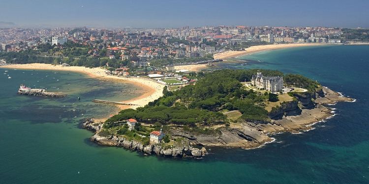
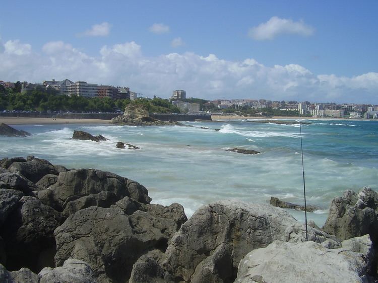
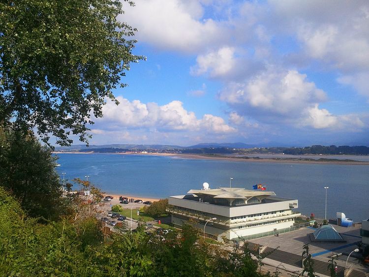
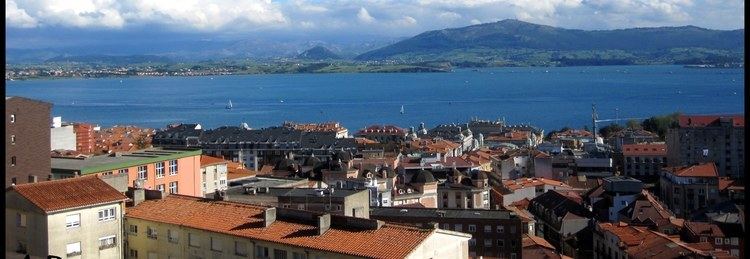
The Bay of Santander is both a comarca of Cantabria and the largest estuary on the North coast of Spain, with an extension of 22.42 km² 9 km long and 5 km wide. Due to the influence of Santander and its metropolitan area, nearly half of the population of the region is gathered around it, which makes the anthropic pressure on this area of water quite notable.
Contents
The entrance to the Bay is lined by the Sardinero beaches, where the Isle of Mouro with its lighthouse can be found. The access to its interior is through a narrow channel of water between the Magdalena Peninsula, near to which are the Isle of the Tower and Horadada Island; and the sandbanks of the El Puntal, a long series of beaches and dunes that protect the tranquil inner waters of the Bay.
The morphology of the bay has suffered important changes in the last centuries. It is estimated that more than 50% of the original extension has been filled up, drying up a large amount of marsh area for grasslands, to expand the Port of Santander, and to create new industrial and residential areas. At the moment, work is going on to recover the seaside ecosystem in some areas of high ecological value.
Isla baie de santander
Rivers and rias
Several rivers empty into the Bay of Santander. The most important is the Ria de Solía, in the South. The Ria de San Salvador empties in the center of the Bay via the Ria de Astillero while in the East flow the Rias of Carmen and Raos; to the West is the Ria de Cubas,which is the mouth of the Miera River.
Geology
The Santander Bay is formed by a diapir generated during the alpinotype orogeny of the Tertiary period. Its materials are composed of clays and salts (specially Keuper's gypsums) that ascended taking advantage of the faults. This movement generated an increase of the fracturing and an important dragging of rocks from the outer layers. The weakness zone generated by the Keuper's clays made easier its erosion compared with other sandstone or limestone areas, which involved the advance of the sea and the formation of the bay.