
 | ||
The Bay of Aarhus or the Aarhus Bay is a Danish waterway by Aarhus in eastern Jutland.
Contents
Map of Aarhus Bugt, Denmark
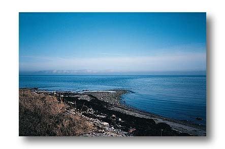
The Bay of Aarhus is bounded by Kalø Vig in the north, Sletterhage and Helgenæs in the east, Samsø and Tunø to the south and the east Jutland coast to the west. The bay stretches over an area of 610 square kilometres (240 sq mi) and consists of a flat bassin, increasing in depth from 14 m in the west to 18 m in the east. The bay mainly exchanges water with the Kattegat through a deep trench along Helgenæs with depths to 50 m. In the bay's southern section there are a number of stony reefs including Norsminde Flak, Wulffs Flak, Mejlflak and Tunø Knob. These reefs and the islands of Tunø and Samsø, prevents an open connection with the Belt Sea.
Environmental issues
In 2002 the inner Danish waters suffered serious and prolonged hypoxia with the Bay of Aarhus being hit especially hard. Studies by the National Environmental Research Institute of Denmark (DMU) in November 2002 and March 2003 showed large areas with noticeable evidence of damage to marine life especially around the areas of Kalø Vig and the western sections of the bay.
In 2013 planning for an offshore windmill park in the bay on the shallow reef of Mejlflak between Tunø, Samsø and Helgenæs was initiated and is to be completed in 2017.