The Bay Trail is a shared use path for cyclists and pedestrians which follows the coastline of Port Phillip Bay through the south-eastern suburbs of Melbourne, Victoria, Australia.
The trail begins at Austin Road, Seaford near the Edithvale-Seaford Wetlands viewing platform and travels north. The trail ends just north of the West Gate Bridge in Port Melbourne. On weekends, a punt ferries pedestrians and bicycles across the Yarra River to Spotswood in the city's west.
North of Brighton the path is mostly split in two; providing separate facilities for pedestrians and cyclists. These areas are also popular with inline skaters.
In the south, the trail begins a short distance from Seaford railway station.
The trail appears to end at Armstrongs Road, Seaford, however it continues at the end of Wilson Grove.
North of the Eel Race Drain footbridge, the trail splits into two. Take the trail on the left to ride north-east through Roy Dore Reserve in Carrum. The trail on the right heads east towards Patterson Lakes shopping centre, and eventually connects with the Dandenong Creek Trail.
A set of pedestrian lights have been installed on busy McLeod Road, Carrum, opposite McDougall Reserve. On the northern side of the crossing is Launching Way, where the trail continues towards the Patterson River boat launching ramps, where the trail then heads south-west for a short distance (0.5 km) towards the bay.
A caged cycling/pedestrian bridge crosses Patterson River parallel to the railway bridge and Nepean Highway. Once on the north bank, the trail heads north-east, inland, for approximately 2 km, then down an embankment, now heading north-west.
The trail continues to head north-east, going under the railway bridge at Mordialloc, with an underpass at Nepean Highway shortly after crossing over the Mordialloc Creek bridge.
From Mordialloc onward, the trail now runs along the coast between the sand and Beach Road. A short gravel section of the trail between Mordialloc and Parkdale is narrow and runs between the sand dunes. It connects with a concrete section that runs beneath the cliffs, ending at McBean Ramp in Beaumaris.
From McBean Ramp, the trail heads south-west. A 750-metre section of the trail is missing between McBean Ramp and the Beaumaris Motor Yacht Squadron, near Cromer Road. Cyclists in either direction should probably use Beach Road. Pedestrians may use the path that follows the cliff's edge, parallel to Beach Road.
From Cromer Road onward, the trail is concrete, with a dashed line in the centre, heading south-west for 1 km, reaching Table Rock Point in Beaumaris.
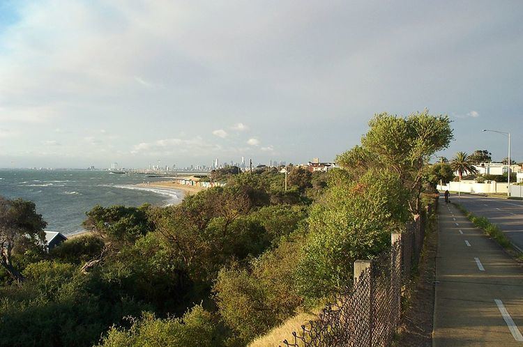
From Table Rock Point onward, navigation is fairly self-explanatory. The trail heads north-west towards Port Melbourne, passing through the suburbs of Black Rock, Sandringham, Hampton, Brighton, Elwood, St Kilda, Middle Park, and Albert Park.
Landmarks
Port Phillip Bay
Patterson River
Edithvale-Seaford Wetlands
Mordialloc Creek
Ricketts Point Tea House
Half Moon Bay
Wreck of HMAS Cerberus
Sandringham Harbour
Elwood Canal & Elster Creek
St Kilda Marina
Station Pier
Westgate Park
West Gate Bridge
Cyclists from the western suburbs can access the northern end of the trail using the West Gate Punt when it is in service. Access from the Melbourne city centre is via the Sandridge Trail. In the south, at Patterson River, the trail meets the Dandenong Creek Trail, which in turn connects to the EastLink Trail. The most southerly point is in Seaford at the southern end of the Seaford Swamp near Austin Rd.
A path runs along Elwood Canal / Elster Creek, ending near Gardenvale Station
North end at 37.829302°S 144.900715°E / -37.829302; 144.900715. South end at 38.105002°S 145.135552°E / -38.105002; 145.135552.