Elevation 415 m (1,360 ft) Postal code 48040 Population 4,005 (2011) Area code 0252 | Time zone EET (UTC+2) Licence plate 48 Local time Wednesday 12:26 AM | |
 | ||
Weather 11°C, Wind E at 5 km/h, 73% Humidity | ||
Bayır is a town in Muğla Province, Turkey
Contents
Map of Bay%C4%B1r, Bay%C4%B1r Mahallesi, 48040 Mu%C4%9Fla, Turkey
Geography
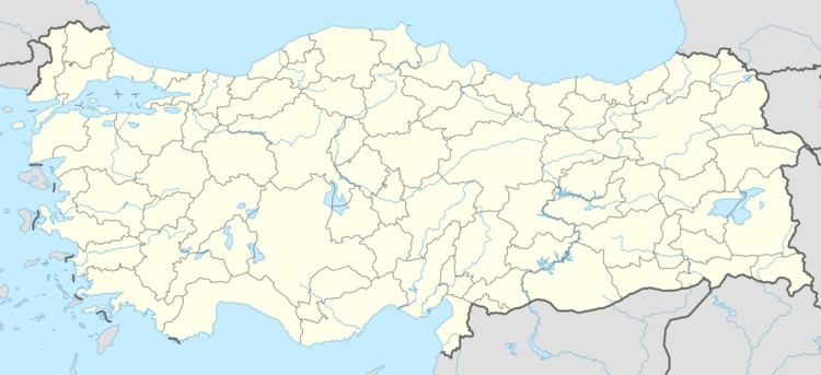
Bayır is a town in the central district (Muğla) of Muğla Province. At 37°16′N 28°13′E it is situated on Turkish state highway which connects Muğla to İzmir . The distance to Muğla is 15 kilometres (9.3 mi). The population is of Bayır is 4005 as of 2011.
History
The original location of the settlement was 4 kilometres (2.5 mi) east of the present location along a creek. But in 1941 after an earthquake, it was relocated in the present place. In 1956 it was declared a seat of township.
Economy
Local trade center of Muğla is in Bayır and there are marble workshops in the town. Bayır Dam, a dam situated 4 kilometres (2.5 mi) north east of the town is used for irrigated farming. There is also a livestock market in the town.
