Name Battista Agnese | Died 1564 | |
 | ||
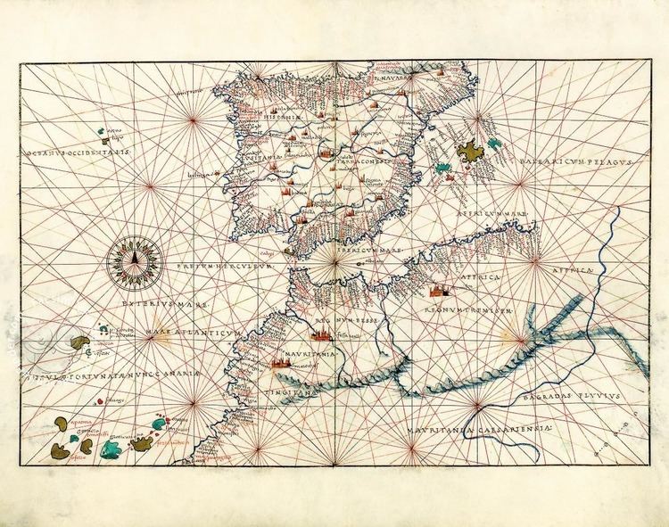
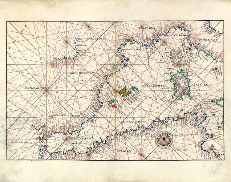
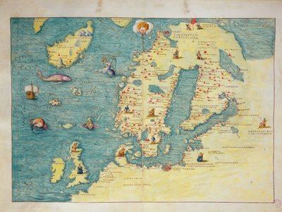
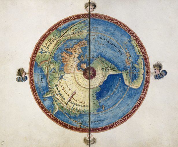
Nautical Atlas of Battista Agnese - Leafing through the facsimile edition
Battista Agnese (c. 1500 – 1564) was a cartographer from the Republic of Genoa, who worked in the Venetian Republic.
In 1525 he prepared an early map of Muscovy that was based on the geographical data, narrated to Paolo Giovio by the Russian ambassador Dmitry Gerasimov.
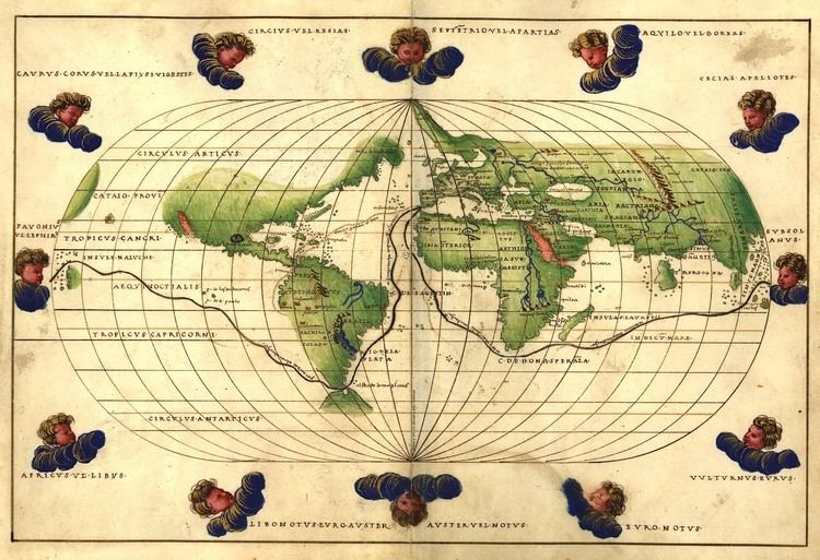
His workshop produced at least 71 manuscript atlases of sea charts between 1534 and 1564, more cheaply than Dieppe maps but still considered of fine craftsmanship. The charts normally included latitude but not longitude, along with various decorative features.
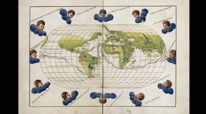
One of Agnese's best-known works is an atlas of the world commissioned by Charles V for his son, Philip II. Apparently produced around 1542, it depicts Baja California correctly as a peninsula (60 years later cartographers started to show California as an island).
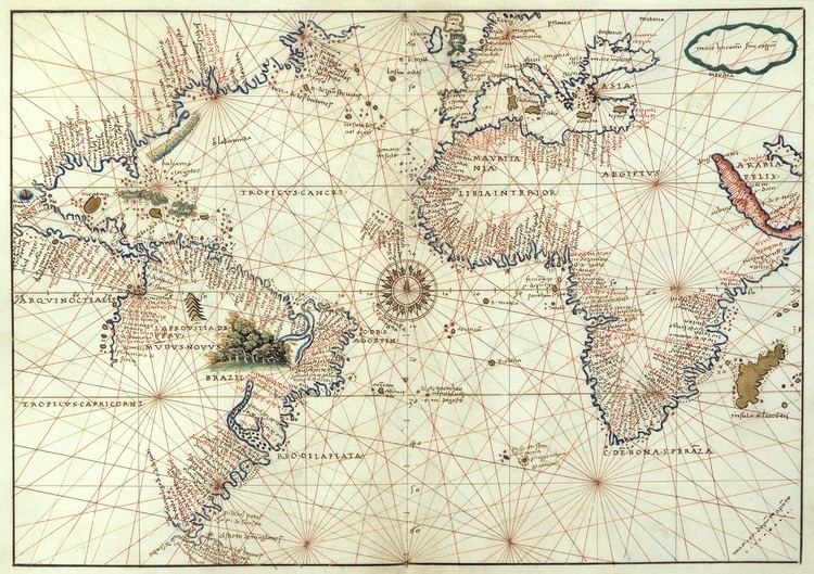
Agnese liked to incorporate the new geographical discoveries in his maps. For example, he included in his world map the route of the voyage of Ferdinand Magellan, and the route to Peru via the Isthmus of Panama, where a lot of the Spanish gold was found.