
Time zone PST (UTC+5) | ||
 | ||
Union Councils 12AjmeraBanianBattagramBatamoriGijboriKuza BandaPaimal SharifPeshoraRajdahriShumlaiThakotTrand | ||
Battagram Tehsil is an administrative subdivision (tehsil) of Battagram District in Khyber Pakhtunkhwa province of Pakistan.
Contents
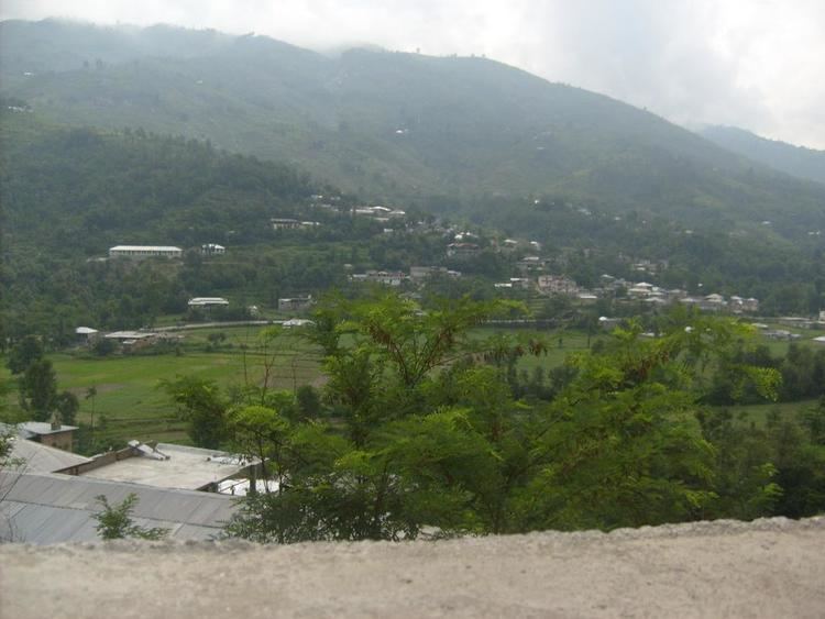
Map of Battagram Tehsil, Pakistan
History
The Swatis of Hazara are the descendants from Swat, drove Hindus from the upper Hazara and setteled in District Mansehra and Battagram. The valley was ruled by Khans (tribal rulers) until 1949, when it signed the Instrument of Accession with Pakistan. In 1971 Tehsil Battagram was merged into Pakistan as an administrative part of the Battagram sub-division. In 1993 Battagram was upgraded to the status of a district and Battagram become one of the sub-divisions of Battagram district.
2005 earthquake
The Battagram (Tehsil) valley was badly affected by the 2005 Kashmir earthquake on October 8, 2005 when more than 4,500 people were killed and more than approximately 35,000 were gravely injured.
Administration
The city of Battagram, serves as the tehsil headquarters, the tehsil is subdivided into 12 Union Councils these are:
People
The area is mainly inhabited by pashto speaking Pathan tribes, the Swati, these people came from Swat and settled in Tehsil Battagram. The Swati has a good social status in the valley. The Pashtun tribes are divided in so many sub-tribes some famous of them are Ghouri Khel (Most of them living in Phagora village), Younas Khel, Khadar Khani, Behram khel, Raza khani, Malkaal, Mula Khel, Shams khel, Deshan ,Syed, Qureshi, (subtribe) and Sahibzadgan and nikakhel Akhon khail living in battagram. The people are very hospitable. They have the small enmities of lands. Often they fought for the land but for last one decade the trend to fight for the land is finished. Often the people solve their problems with Jirga system in villages. Most of people living outside the country like Saudi Arabia, UAE, Qatar, United States, United Kingdom and many other countries of the world. People of Battagram don't have any proper source of income.
Location
Tehsil Battagram is bounded by Allai, Shngla and Kohistan on the north and the east and by the Kaghan valley and Mansehra on the west. Tehsil Battagram is separated from Allai on the north by a range of mountains rising to over 15,000 feet (4,600 m), and from Mansehra by another range running from the Afghanistan border to the Indus above Thakot. The total area of Tehsil Battagram is about 300 square miles(780 km²). Wheat, barley, corn and rice are grown, and the mountain slopes at the eastern end covered with forest. Cis-Indus Swatis are the dominant tribes of the Tehsil Battagram. Khan culture is dominant in the Battagram Valley.