
Area 248.3 km² | Time zone BST (UTC+6) Population 128,184 (1991) | |
 | ||
Website Official Map of Batiaghata | ||
Batiaghata (Bengali: বটিয়াঘাটা) is an Upazila of Khulna District in the Division of Khulna, Bangladesh.
Contents
- Map of Batiaghata Bangladesh
- Geography
- Demographics
- Points of interest
- Administration
- Primary schools
- Secondary school
- College
- Nearest Tourist Point
- References
Map of Batiaghata, Bangladesh
Geography
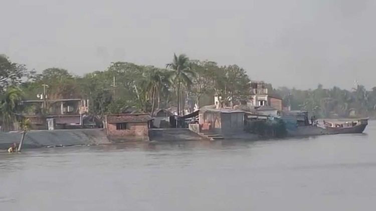
Batiaghata is located at 22.7417°N 89.5167°E / 22.7417; 89.5167. The Kajibacha river divides it into an eastern and a western part. It has 23698 households and total area 248.33 km².
Demographics
According to the 1991 Bangladesh census, Batiaghata had a population of 128184. Males constituted 51.07% of the population, and females 48.93%. The population aged 18 or over is 71,463. Batiaghata has an average literacy rate of 37.7% (7+ years), compared to the national average of 32.4%.
Points of interest
Administration
Batiaghata has 7 Unions/Wards, 132 Mauzas/Mahallas, and 158 villages.
Primary schools
Secondary school
College
Nearest Tourist Point
References
Batiaghata Upazila Wikipedia(Text) CC BY-SA