
Country Mexico Municipality Mexicali Elevation 28 m | State Baja California Time zone CST (UTC−8) Population 1,121 (2010) | |
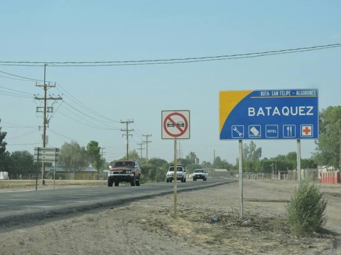 | ||
Batáquez, also named Estación Batáquez or Poblado Monterrey, is a Mexican town of the Valley of Mexicali, in the municipality of Mexicali, Baja California. According to the INEGI, it is located at 32° 32'58'' coordinates north latitude and 115° 04'15'' west, and had 1,121 inhabitants in 2010. Despite being a small town, Batáquez has local importance since it is the head of the municipal delegation of the same name.
Contents
Map of Bat%C3%A1quez, Baja California, Mexico
Overview
The name Station Batáquez derives from the early to mid-twentieth century; this town had a railway station on the Intercalifornias railway or "Pachuco train". Over time the population center of Monterrey Village stood aside from the station.
Batáquez is reached mainly by Federal Highway 2, which crosses the town from east to west, and the No. 3 State Road, which intersects in this town with the federal No . 2 and is directed towards the south, the state road is the road that communicates with Guadalupe Victoria that is the most important town in the valley area of Mexicali.