
Population (2010) 105 Area 6.68 km² | Canton Signy-l'Abbaye Time zone CET (UTC+1) Local time Thursday 8:25 AM | |
 | ||
Weather 5°C, Wind W at 14 km/h, 81% Humidity | ||
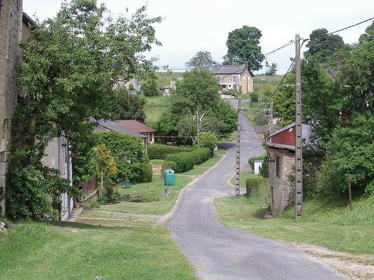
Barbaise is a French commune in the Ardennes department in the Grand Est region of northern France.
Contents
Map of 08430 Barbaise, France
Geography
Barbaise is located at an altitude of 209 metres some 16 km south-west of Charleville-Mézières and 30 km north-east of Rethel. Access to the commune is by the D3 road from Jandun in the east which passes through the centre of the commune and continues north-east to Warnécourt. Access to the village is by the D203 which branches off the D3 in the commune and goes south to the village. The commune is mostly farmland with forests in the north-east and north of the commune.
The Ruisseau de Barbileuse rises in the village and flows south to join the Vence south-west of Raillicourt.
Administration
List of Successive Mayors
(Not all data is known)
Demography
In 2010 the commune had 105 inhabitants. The evolution of the number of inhabitants is known from the population censuses conducted in the commune since 1793. From the 21st century, a census of communes with fewer than 10,000 inhabitants is held every five years, unlike larger communes that have a sample survey every year.
Sources : Ldh/EHESS/Cassini until 1962, INSEE database from 1968 (population without double counting and municipal population from 2006)