
Time zone PST (UTC+8) Population 29,776 (2012) | Postal Code 1803 Area code 02 | |
 | ||
Region National Capital Region District 2nd Legislative district of Marikina Points of interest Philippine Science Centrum, The Spirit of Bethlehem, Museum of Miniatures, Marikina Riverbanks Amphitheater Restaurants Renaissa Cafeteria, Figaro Riverbanks, Dampa sa Ilog, Doro's Burger, Estrada's Lutong Ulam Ma | ||
Big fire in pasig as seen from barangka marikina
Barangka is one of sixteen barangays in Marikina, Philippines and one of the barangays in 1st District of Marikina. It is also one of the oldest barangay founded in Marikina.
Contents
- Big fire in pasig as seen from barangka marikina
- Map of Barangka Marikina Metro Manila Philippines
- Barangka drive
- History
- Geography
- Government
- Villages and subdivisions
- Landmarks and other buildings
- Schools
- Roads
- References
Map of Barangka, Marikina, Metro Manila, Philippines
Barangka is the main passageway between Quezon City and Marikina, and a gateway between Quezon City and Rizal Province. It is located along southwestern border of Marikina, it is bordered on the west by Loyola Heights in Quezon City; to the south by Industrial Valley and Calumpang in Marikina; to the east by Tañong in Marikina; and to the north by Loyola Grand Villas.
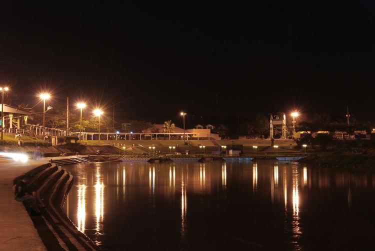
On its south portion lies the Marikina River where the Marikina River Park and Riverbanks Center is located. Barangka is surrounded by major universities, major shopping malls, industrial zones and transportation hubs. Barangka is also accessible to major commercial and business areas, such as Araneta Center, Eastwood City in Libis, Katipunan Avenue, Ortigas Center and Makati Central Business District.
Barangka drive
History
Barangka takes its name from the Spanish word for "canyon", barranca. Barangka actually lies on the hills of Quezon City, not too far from the Marikina fault system. Along with former Parang and Nangka, the former sitio was elevated to barangay by virtue of Republic Act No. 2601, which was enacted on June 21, 1959.
Geography
Barangka lies on the hills of Quezon City and also can be threat in famous Marikina Fault. The area has a total of 116.96 hectares and the population is 27,805, which as the most dense population in Marikina. On its south portion lies the Marikina River which located Riverbanks Center. It is located along western border of Marikina, it is bordered on the west by Loyola Heights in Quezon City; to the south by Industrial Valley and Calumpang in Marikina; to the east by Tañong in Marikina; and to the north by Loyola Grand Villas.
Government
Barangay Chairman Managuit, Efren Herrera and Kagawads Ferrer, Eduardo Jr. Mariano, Ferrer Iñigo, Mascarina, Herberth Santos, Tiburcio, Ronnie Cruz,Santos, Elizabeth Rimbao, Tiburcio Leonard Gremio and Borbon, Erlinda Cruz.
Villages and subdivisions
Landmarks and other buildings
Schools
Roads
Major roads
Streets
Bridges