
Area 299.6 km² | Time zone BST (UTC+6) | |
 | ||
Website Official Map of Baraigram | ||
Baraigram (Bengali: বড়াইগ্রাম or Boraaigraam) is an Upazila of Natore District in Rajshahi Division, Bangladesh.
Contents
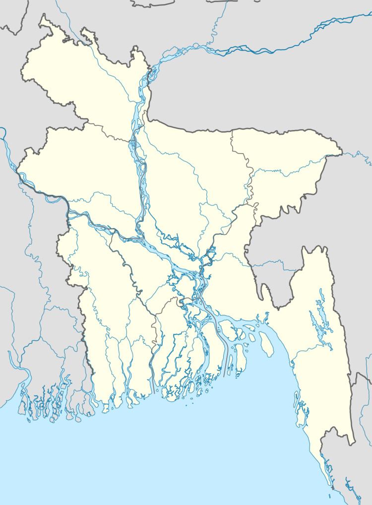
Map of Baraigram, Bangladesh
Geography
Baraigram is located at 24.3083°N 89.1708°E / 24.3083; 89.1708 . It has 40582 households and total area 299.61 km².
Demographics
As of the 1991 Bangladesh census, Baraigram has a population of 230480. Males constitute 50.85% of the population, and females 49.15%. This Upazila's eighteen up population is 108842. Baraigram has an average literacy rate of 25.3% (7+ years), and the national average of 32.4% literate.
Administration
Baraigram has 7 Unions/Wards, 152 Mauzas/Mahallas, and 179 villages. 1.joari Union 2.bonpara porosova 3. baraigram porosova 4.Gurudashpur pourosova
References
Baraigram Upazila Wikipedia(Text) CC BY-SA